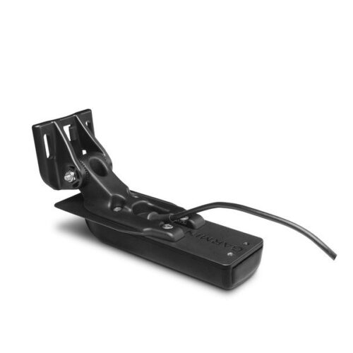
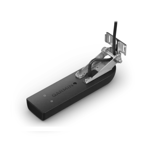
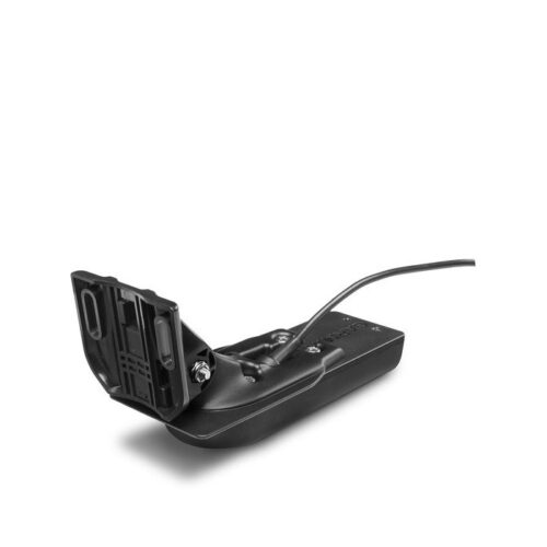
Garmin ECHOMAP Ultra 126sv GN+ Marine Chartplotter with GT54UHD Transducer
This item has been discontinued. No longer available. It has been replaced by the Garmin ECHOMAP Ultra 126sv with GT56UHD-TM Transducer (010-02529-51)
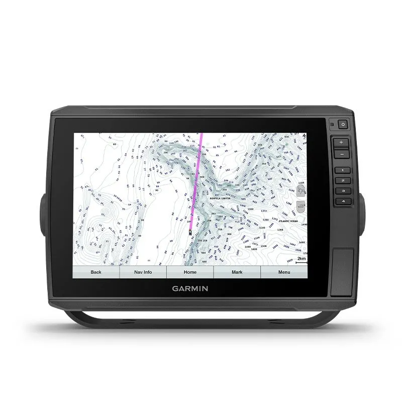
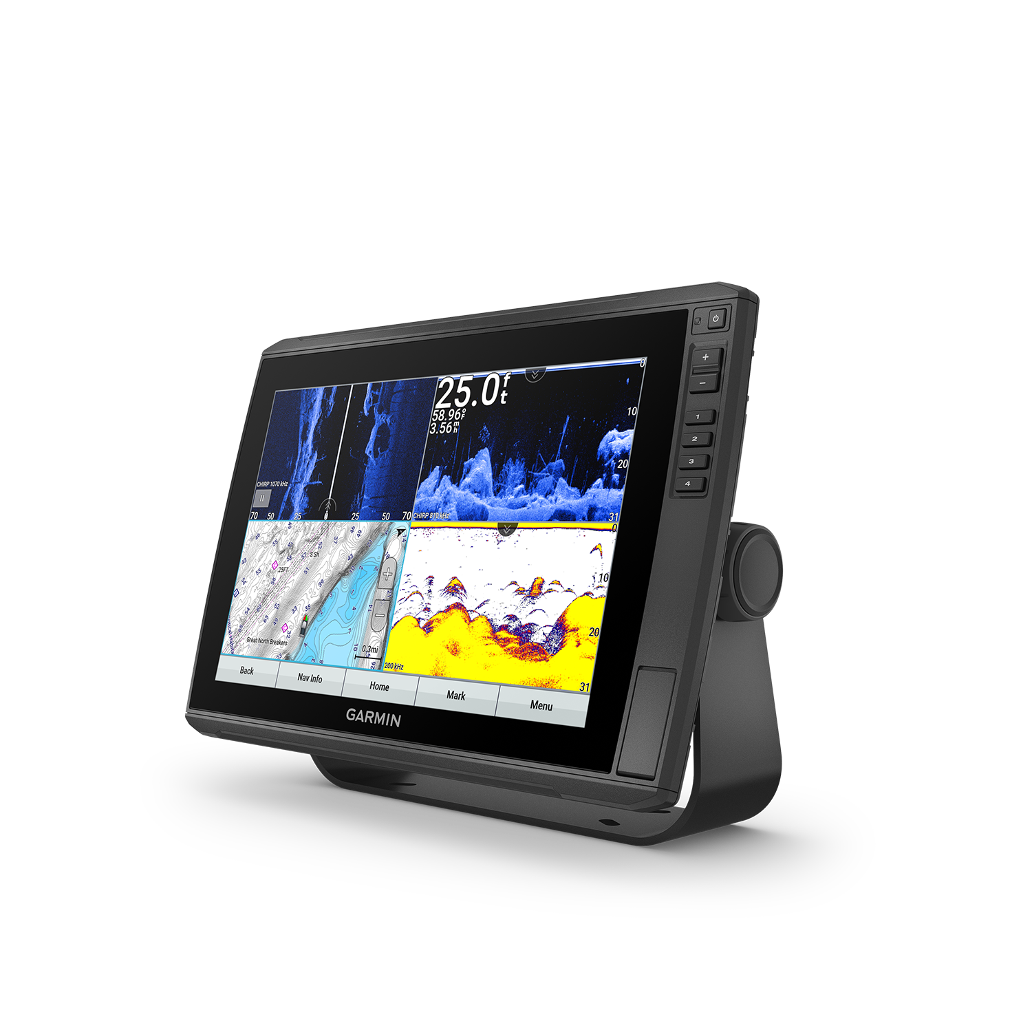
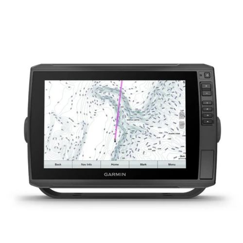
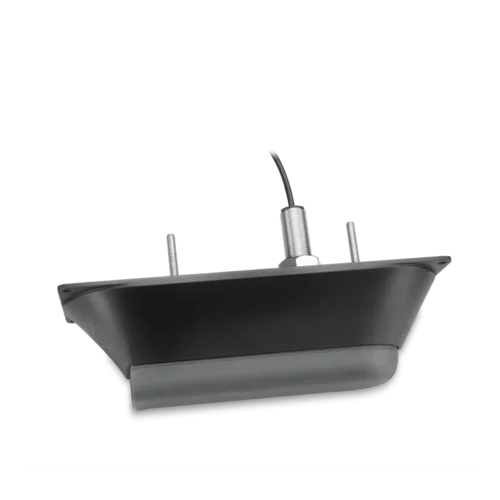
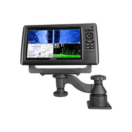
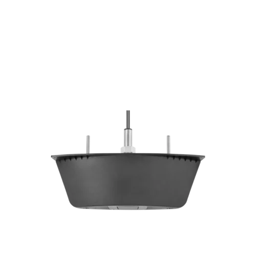
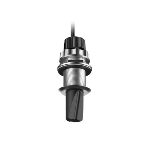
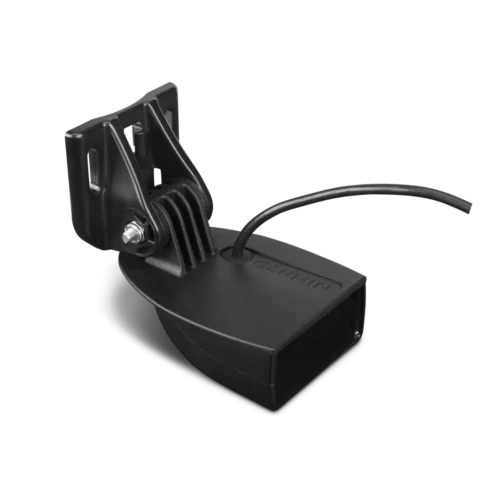
The sunlight-readable 12” touchscreen combo on the Garmin ECHOMAP Ultra 126sv marinechartplotter features preloaded coastal and inland Garmin Navionics+™ mapping of U.S. and Canada*, and the included GT54UHD-TM transducer adds CHIRP traditional and Ultra High-Definition scanning sonars.
*Canada coverage of coastal British Columbia, the Great Lakes, the St. Lawrence Seaway, New Brunswick and Nova Scotia. Same map coverage as Garmin Navionics+: NSUS001L – U.S. & Coastal Canada (010-C1287-20)
- Description
- Additional information
- Specifications
- Package Includes
- Product Guides & Documentation
- Accessories
GARMIN ECHOMAP ULTRA 126SV HAS ALL THE TOOLS FOR SUCCESSFUL FISHING
The Garmin ECHOMAP Ultra 126sv features sunlight-readable 12” touchscreen. The marine chartplotter combo features preloaded coastal and inland Garmin Navionics+™ mapping of U.S. and western coast of Canada. Plus the transducer bundle adds CHIRP traditional and Ultra High-Definition scanning sonars to help you find more fish.
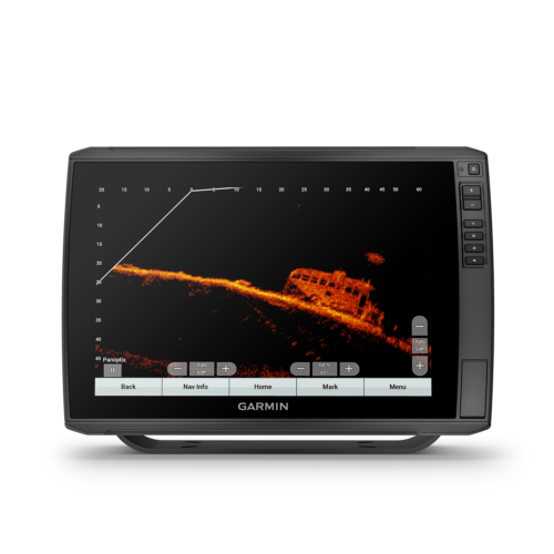
LiveScope Sonar Support
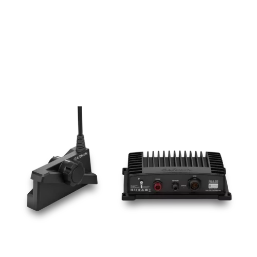
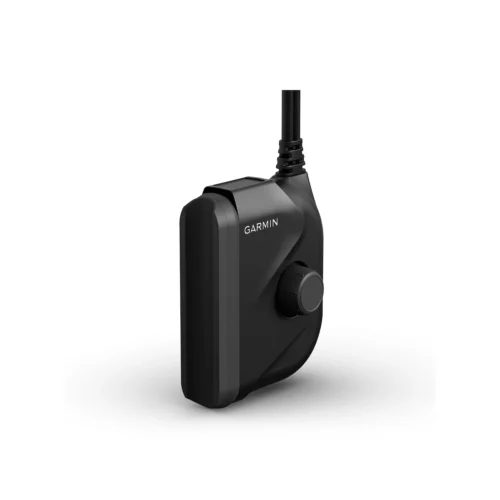
Garmin ECHOMAP Ultra supports a variety of Garmin transducers (additional transducers sold separately), including LiveScope all-seeing live sonar.
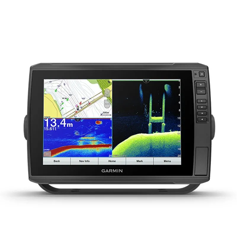
Built-in UHD Sonar
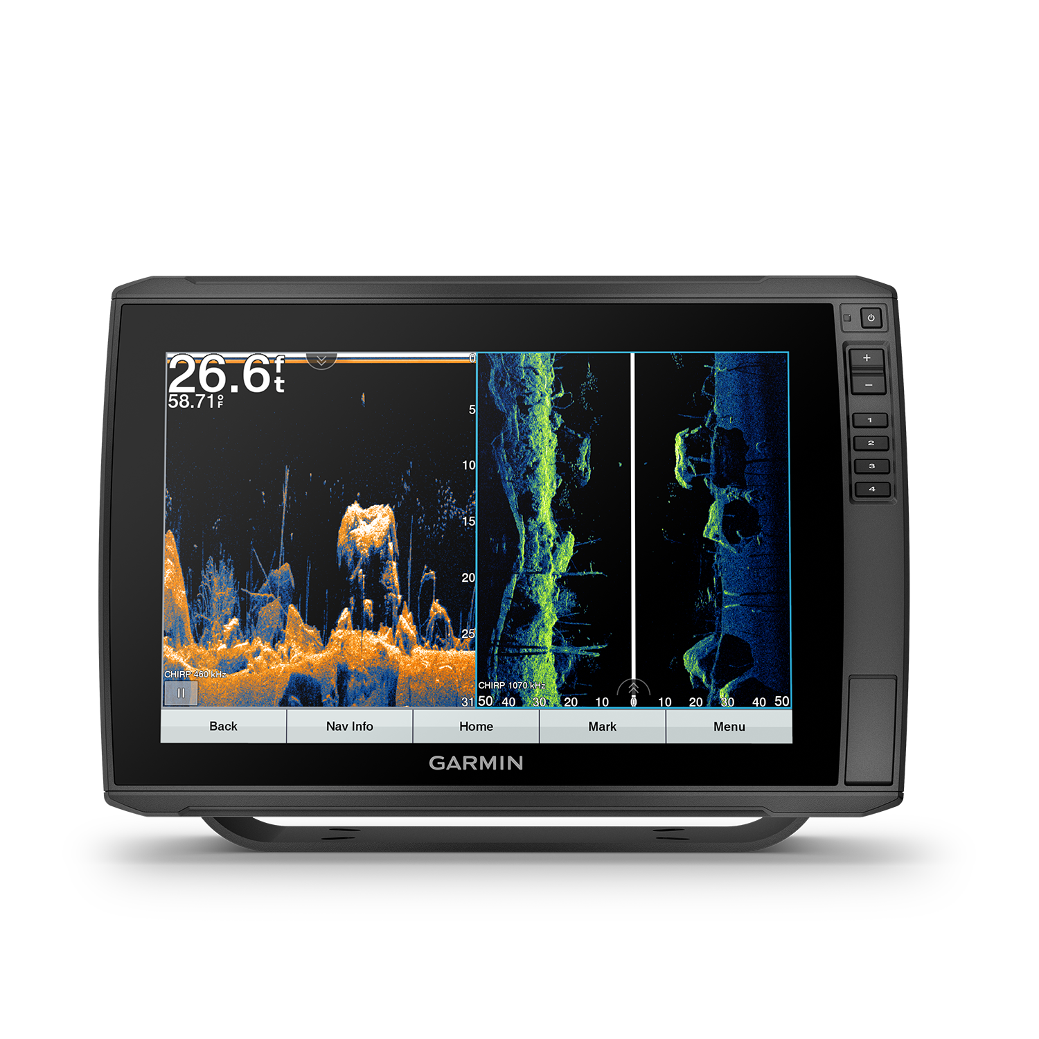
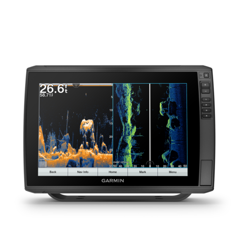
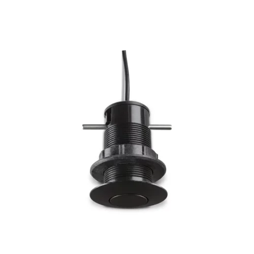
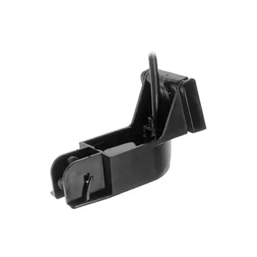
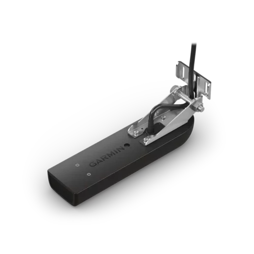
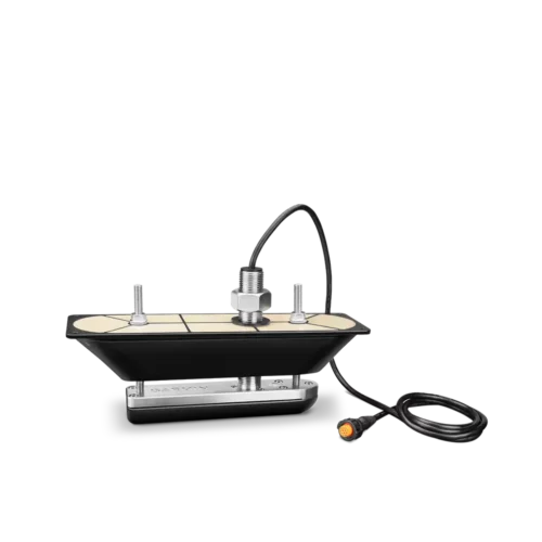
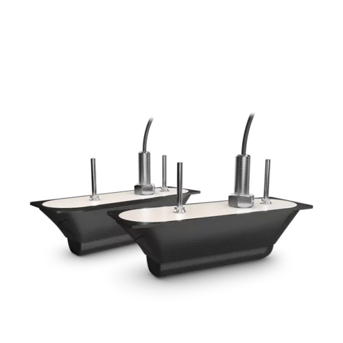
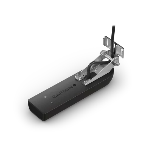
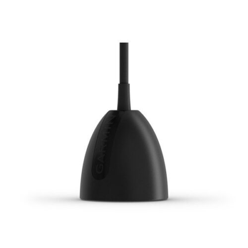
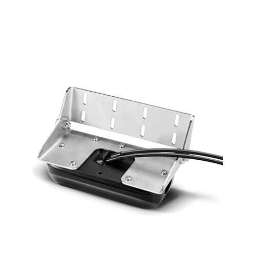
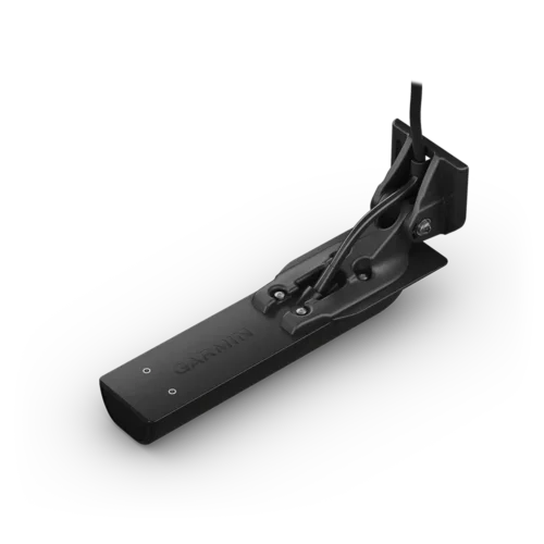
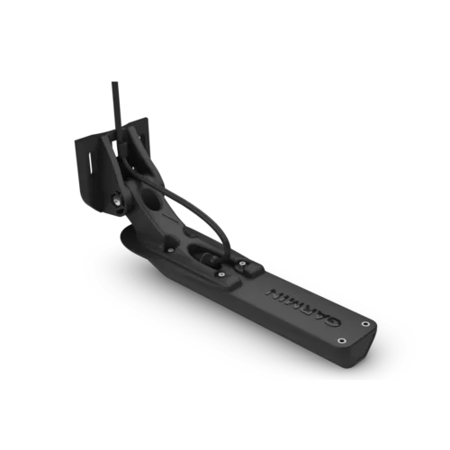
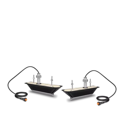
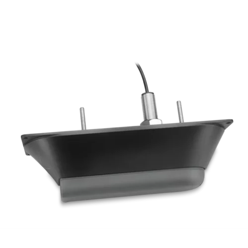
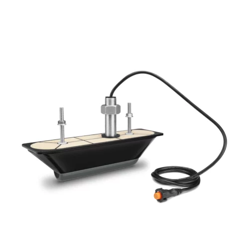
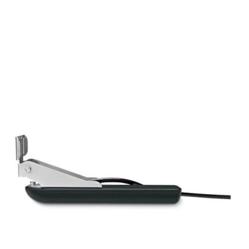
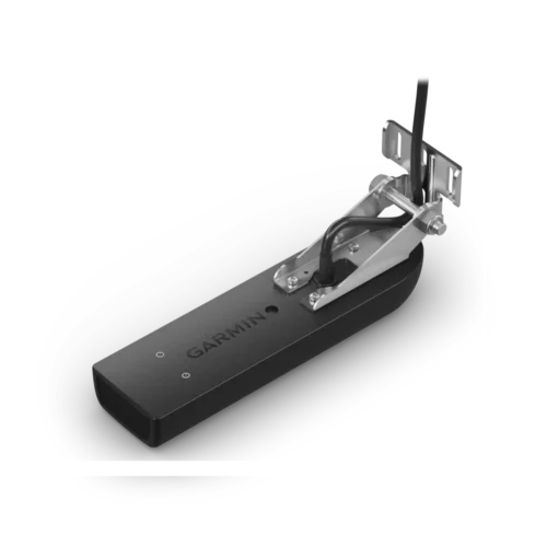
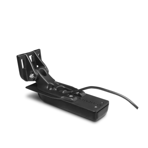
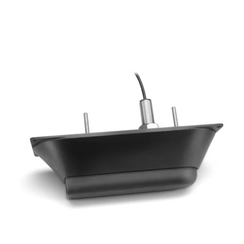
Built-in UHD sonar provides Garmin CHIRP traditional sonar plus Ultra High-Definition ClearVü™ and SideVü™ scanning sonars when paired with the included GT54UHD-TM UHD transducer.
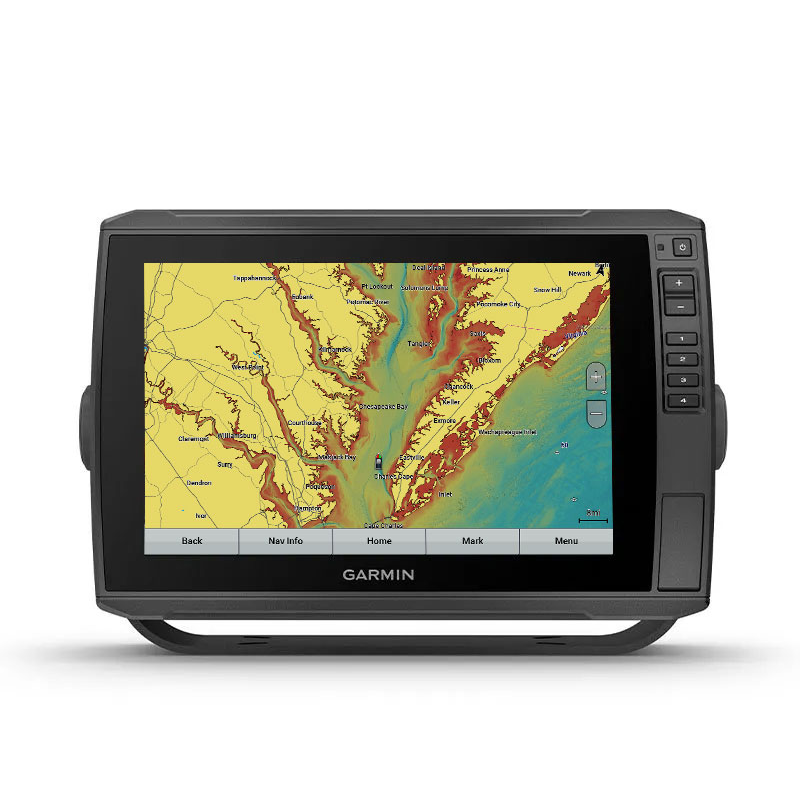
Preloaded Charts
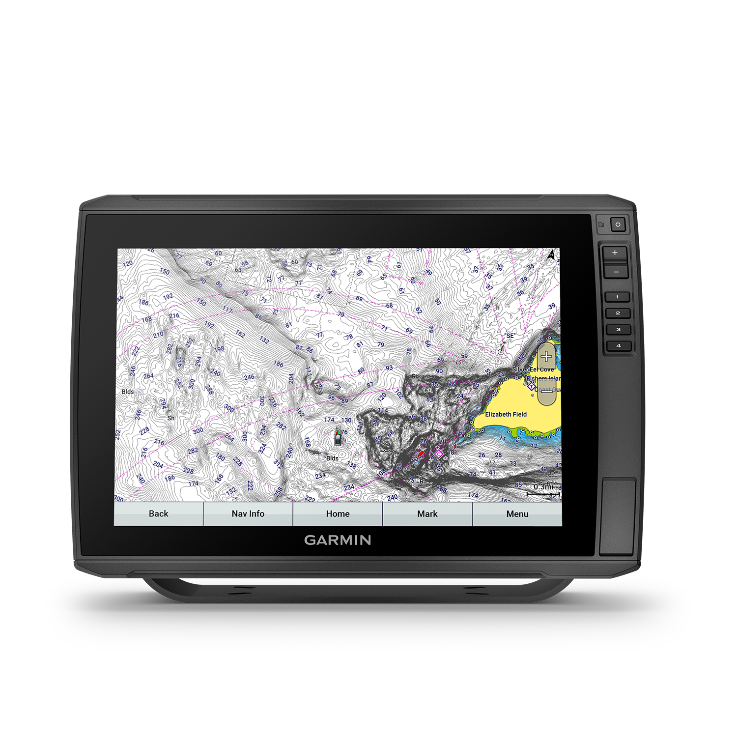
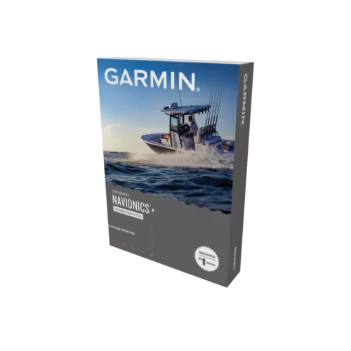
Experience unparalleled coverage and detail with built-in Garmin Navionics+ integrated coastal and inland mapping with Auto Guidance+™ technology². It comes with a 1-year subscription for downloadable daily updates and more.
Detailed coverage of the entire U.S. coasts, lakes, rivers and inland waterways, plus Alaska and Hawaii. Canada coverage of coastal British Columbia, the Great Lakes, the St. Lawrence Seaway, New Brunswick and Nova Scotia. Coverage includes Bermuda, the Bahamas, Baja California, the Gulf of California, Johnston Atoll and Palmyra Atoll/Kingman Reef. Same map coverage as Garmin Navionics+: NSUS001L – U.S. & Coastal Canada (010-C1287-20)
Share Sonar, Waypoints and Routes
Have more than one unit? You can share sonar, waypoints and routes with other Garmin ECHOMAP Ultra 10” and 12” units as well as ECHOMAP Plus 7” and 9” units.
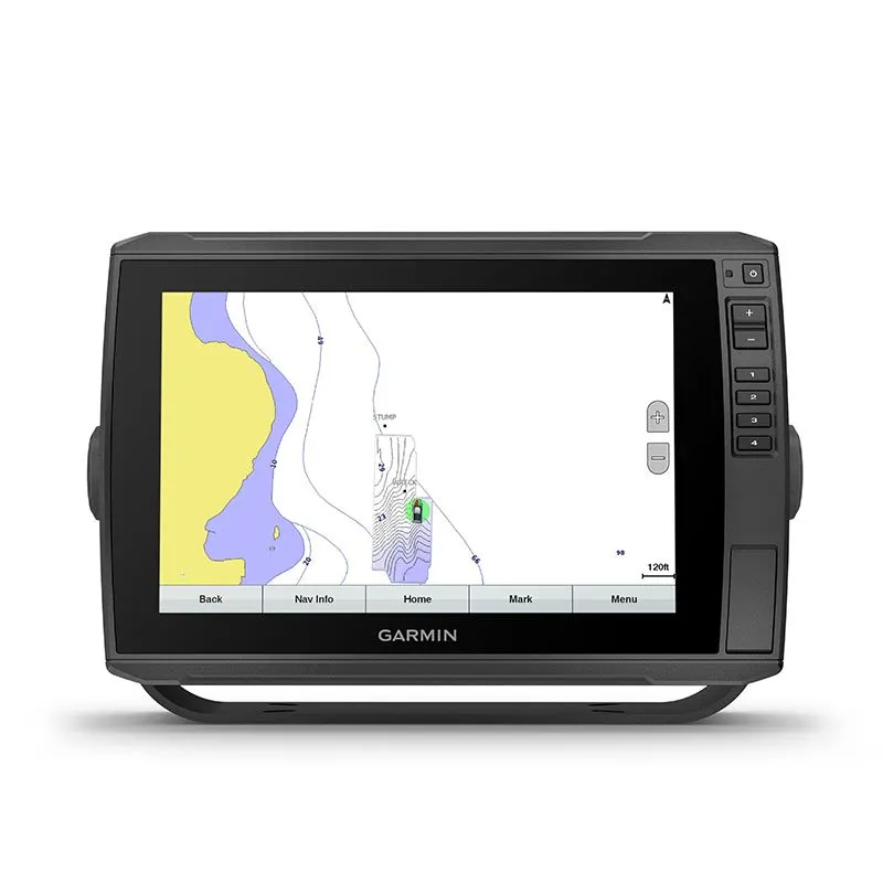
Quickdraw Contours to Create Your Own Maps
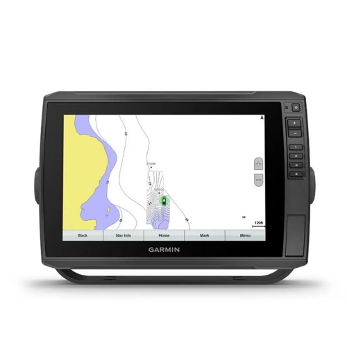
Create personalized fishing maps on-screen with 1’ contours. Keep the data to yourself, or share it with the Garmin Quickdraw™ Community via the ActiveCaptain app on the Garmin Connect™ app³.
Upgrade to the Best Maps on the Water
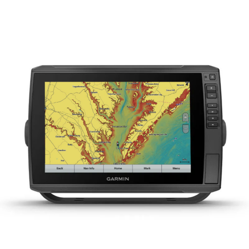
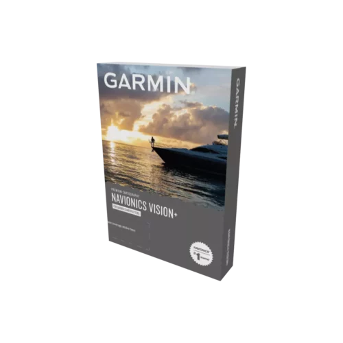
Bring a fresh new look and feel to your marine chartplotter with optional Garmin Navionics Vision+™ premium cartography, featuring high-resolution relief shading, satellite imagery, sonar imagery and more.
Network Capable
If you have multiple compatible ECHOMAP Ultra 10” or 12” units or ECHOMAP Plus or UHD 7” and 9” units on your boat, you can share information — such as sonar, user data and charts — among them.
NMEA 2000® Network Compatibility
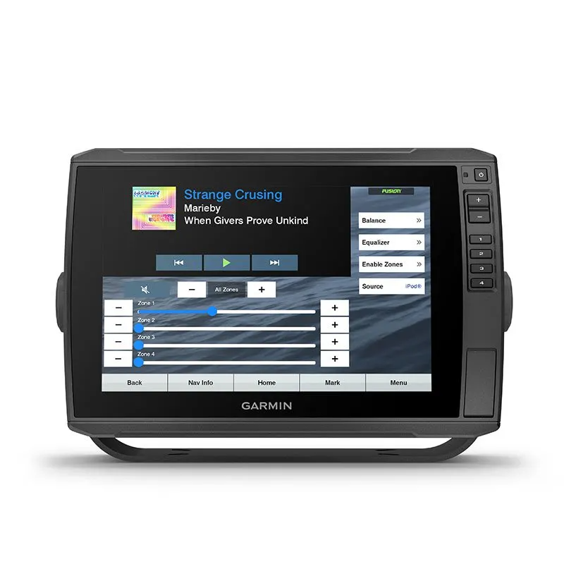
Connect to your compatible autopilots, digital switching, weather, Fusion-Link™ audio system, media, VHF, AIS, engine data, heading sensors — such as the SteadyCast™ sensor — and more from one screen.
ActiveCaptain App
Built-in Wi-Fi® connectivity pairs with the free all-in-one mobile app for access to the OneChart™ feature, smart notifications, software updates, Garmin Quickdraw Community data and more¹.
Force® Trolling Motor Compatibility
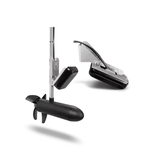
Take control of the most powerful and efficient trolling motor available, route it to waypoints, follow tracks and more from the screen of your chartplotter.
Take Your Garmin ECHOMAP Ultra with You
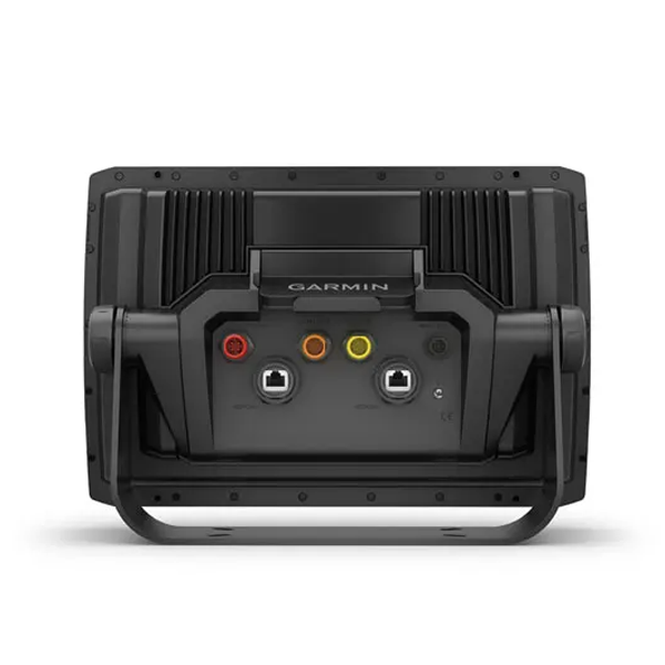
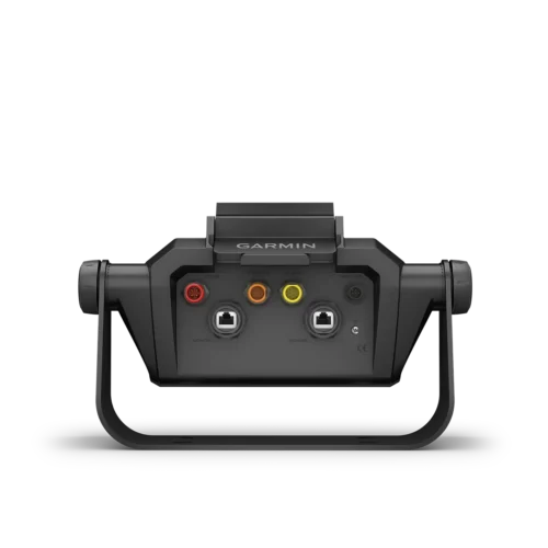
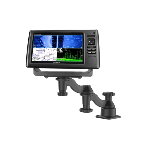
When you’re off the water, it’s easy to keep your ECHOMAP Ultra combo safe and secure. You don’t have to mess with plugging and unplugging wires from the unit, because the cords plug directly into the quick-disconnect bail mount. This allows you to quickly install and remove your ECHOMAP Ultra from power and the mount.
¹Requires the ActiveCaptain app on your compatible smartphone paired to the ECHOMAP Ultra 106sv chartplotter
²When paired with a compatible smartphone; see Garmin.com/ble
³In compliance with ISO standard 13342
| Weight | 15 lbs |
|---|---|
| Dimensions | 16.5 × 11.5 × 9 in |
| Brand | Garmin |
| Version | Garmin echoMAP Ultra 126sv, Garmin echoMAP Ultra 126sv with GT56UHD-TM Transducer |
| Compatibility | Autopilot, Live Sonar, Radar |
| Connectivity | Networking, NMEA 0183, NMEA 2000 |
| Preloaded Maps | Garmin Navionics+ |
| Screen Size | 12" |
| Manufacturer Part Number | 010-02114-51 |
Specifications
Garmin ECHOMAP Ultra 126sv Marine Chartplotter Specifications
General |
|
| DIMENSION | 13.4″ x 9.0″ x 3.9″ (34.1 x 22.9 x 9.8 cm) |
|---|---|
| TOUCHSCREEN | ✔ |
| INPUT | Touchscreen with Keyed Assist |
| DISPLAY SIZE | 10.3″ x 6.4″; 12.1″ diagonal (26.1 x 16.3 cm; 30.7 cm diagonal) |
| DISPLAY RESOLUTION | 1280 x 800 pixels |
| DISPLAY TYPE | WXGA, IPS |
| WEIGHT | 5.5 lbs (2.5 kg) |
| WATERPROOF | IPX7 |
| MOUNTING OPTIONS | Bail or flush |
Maps & Memory |
|
| ACCEPTS DATA CARDS | 2 microSD™ cards |
| WAYPOINTS | 5000 |
| TRACK POINTS | 50,000 |
| TRACKS | 50 saved tracks |
| NAVIGATION ROUTES | 100 |
Sensors |
|
| HAS BUILT-IN RECEIVER | ✔ |
| RECEIVER | 10 Hz |
| NMEA 2000 COMPATIBLE | ✔ |
| NMEA 0183 COMPATIBLE | ✔ |
| GPS | ✔ |
| SUPPORTS WAAS | ✔ |
Built-in Maps |
|
| BUILT-IN AUTO GUIDANCE+ | ✔ |
| GARMIN NAVIONICS+ INLAND & COASTAL | ✔ (U.S. and western coast of Canada) |
| TIDE TABLES | ✔ |
Optional Map Support |
|
| GARMIN NAVIONICS+™ | ✔ |
| GARMIN NAVIONICS VISION+™ | ✔ |
| TOPO | ✔ |
| STANDARD MAPPING | ✔ |
| GARMIN QUICKDRAW CONTOURS | ✔ |
Chartplotter Features |
|
| AIS | ✔ |
| DSC | ✔ |
| SUPPORTS FUSION-LINK™ COMPATIBLE RADIOS | ✔ |
| ACTIVECAPTAIN® COMPATIBLE | yes |
| SAILING FEATURES | ✔ |
Sonar Features & Specifications |
|
| DISPLAYS SONAR | ✔ |
| POWER OUTPUT | 600 W |
| TRADITIONAL SONAR (DUAL FREQUENCY/BEAM) | built-in (single channel CHIRP, 70/83/200 kHz, L, M, H CHIRP) |
| CLEARVÜ | built-in 260/455/800/1000/1200 kHz |
| SIDEVÜ | built-in 260/455/800/1000/1200 kHz |
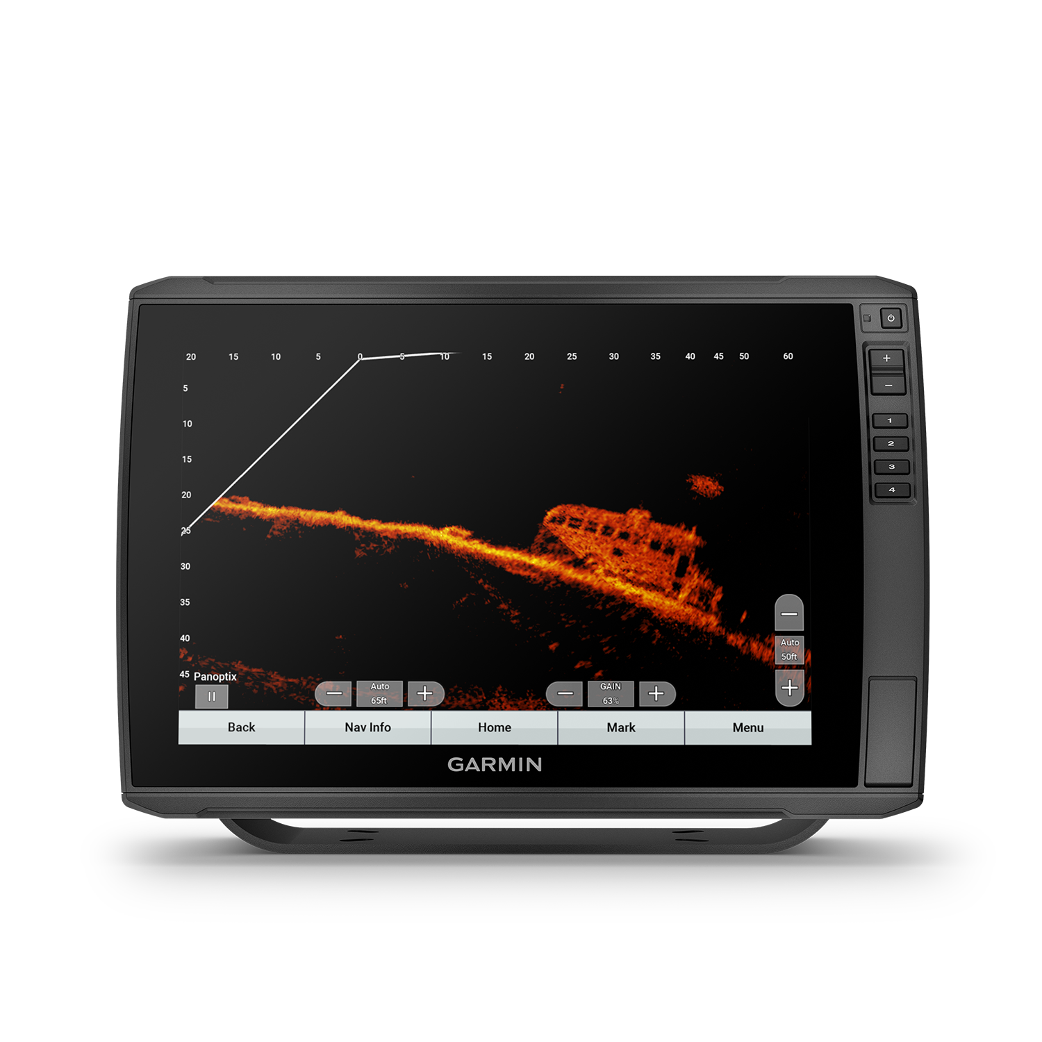
| PANOPTIX™ SONAR | ✔ |
| LIVESCOPE | ✔ |
Connections |
|
| NMEA 2000 PORTS | 1 |
| CONNECTIONS NMEA0183 INPUT PORTS | 1 |
| NMEA 0183 INPUT (TX) PORTS | 1 |
| GARMIN MARINE NETWORK PORTS | 2 (large connector) |
| 12-PIN TRANSDUCER PORTS | 1 LVS sonar; 1 12-pin scanning sonar |
Electrical Features |
|
| POWER INPUT | 9 to 18 Vdc |
| TYPICAL CURRENT DRAW AT 12 VDC | 2.8 A |
| MAXIMUM CURRENT DRAW AT 12 VDC | 3.0 A |
| MAXIMUM POWER USAGE AT 10 VDC | 24.4 W |
Package Includes
In the Garmin ECHOMAP Ultra 126sv Box:
- Garmin ECHOMAP Ultra 126sv marine chartplotter with Garmin Navionics+ (U.S. and western coast of Canada)
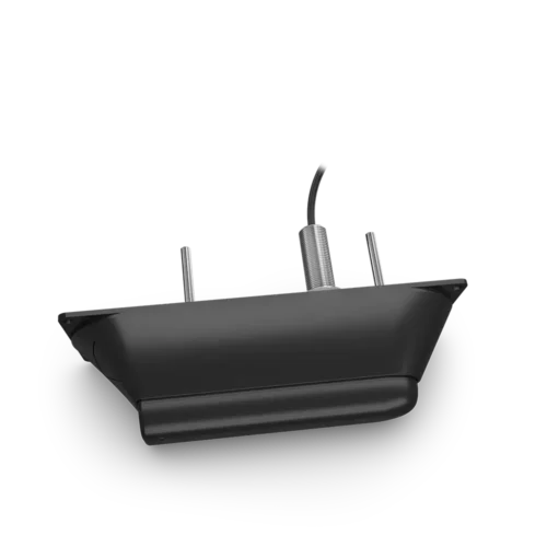
- GT54UHD-TM transducer
- Power/data cable
- Tilt mount with quick release cradle
- Flush mount
- Protective cover
- Hardware
- Documentation
Product Guides & Documentation
View the following manual for more details about the Garmin ECHOMAP Ultra 126sv with GN+ fish finder and marine chartplotter.
Accessories
Optional Accessories …
Marine Accessories
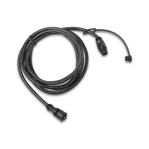
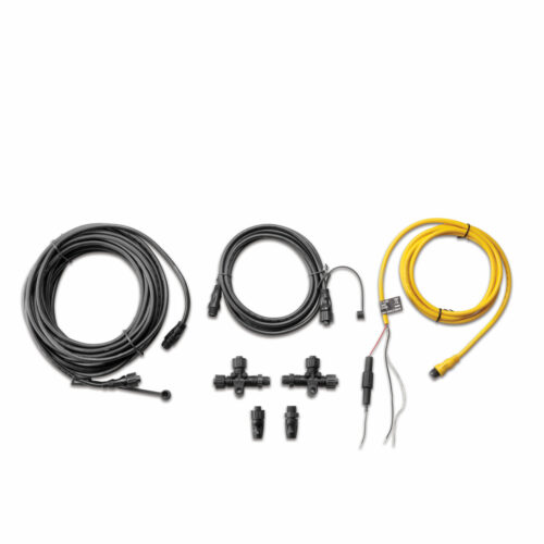
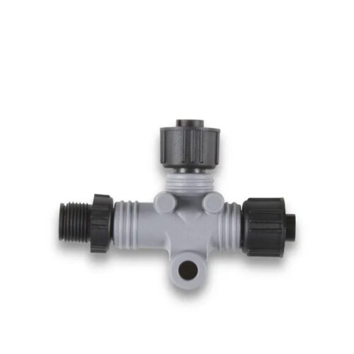
NMEA Cables
NMEA Cables
NMEA Cables
NMEA Cables
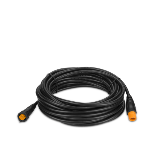
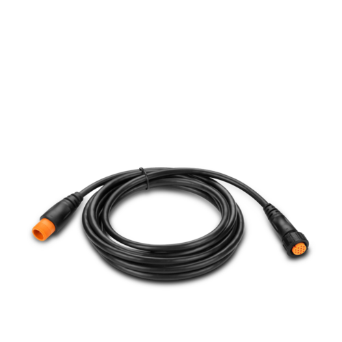
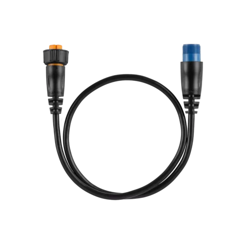
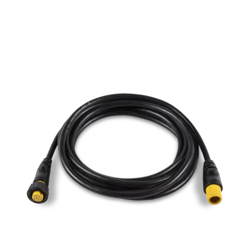
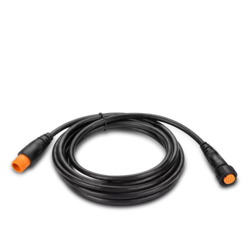
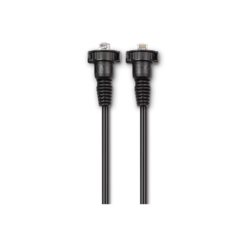
Transducer Extension Cables
Transducer Extension Cables
Select a Model to See Availability
Select a Model to See Availability
Select a Model to See Availability
Select a Model to See Availability
Traditional
Traditional
Select a Model to See Availability
Select a Model to See Availability
Select a Model to See Availability
Select a Model to See Availability
Networking
Networking
Networking
Networking

