Garmin Rino 700 Basic GPS & Two-Way Radio
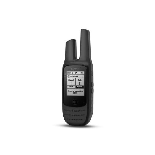
The Garmin Rino 700 is a basic outdoors GPS & two-way radio combo with a long battery life. The Rino 700 comes with a basemap but has no built-in memory and cannot accept additional maps.
Garmin Rino 750, 750t & 755t Additional Features
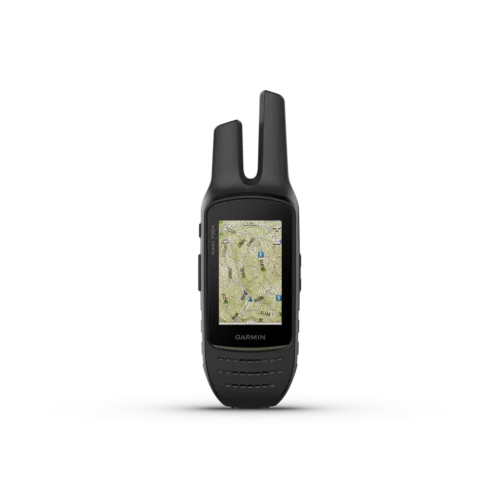
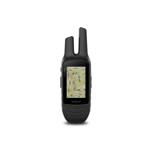
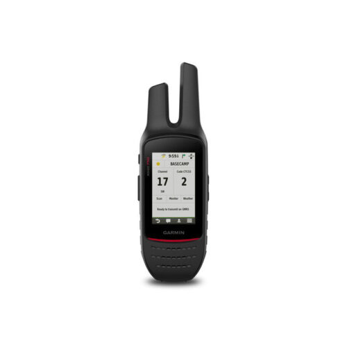
Garmin Rino 750, 750t & 755t have more features and functionality. For an outdoors GPS with two-way radio that can also provide routing, has Bluetooth and connectivity options, has a touchscreen and has both an internal battery as well as taking AA batteries, you’ll want to choose the Rino 750, 750t or 755t.
The main differences between the Rino 750, Rino 750t and Rino 755t are that the Rino 750t and Rino 755t comes with preloaded topographic maps of Canada, has a larger built-in memory, and the Rino 755t also has a camera.
-
 Garmin Rino 700Product on saleOriginal price was: $469.99.$399.99Current price is: $399.99.
 -
Garmin Rino 750t$699.95
-
Garmin Rino 755t$719.99
-
Garmin Rino 750 (Canadian Version)$719.99
These Garmin Rino series handheld outdoor GPS all have these features:
Garmin Rino GPS Receivers, Maps & Data Inputs
- GPS/GLONASS: GPS & GLONASS
- High-Sensitivity Receiver: yes
- Basemap: yes
- Photo Navigation: no
- Geocaching Friendly: yes
- Hunt/Fish Calendar: yes
- Sun & Moon Information: yes
Garmin Rino Two-Way Radio Features:
- Channels: 22
- Squelch codes: 38 (CTCSS); 83 (DCS)
- Range: Up to 2 miles over FRS; up to 8 miles over GMRS (13km)
- Contacts: 50
- VOX (voice activations): yes
- Location Reporting (Send & Receive GPS Positions): yes
Each Garmin Rino is IPX7 waterproof.
| Product | Garmin Rino 700 | Garmin Rino 750 | Garmin Rino 750t | Garmin Rino 755t |
|---|---|---|---|---|
| Preloaded Maps | ❌ | ❌ | ✅ (topographic maps of Canada, not routable) | ✅ (topographic maps of Canada, not routable) |
| Ability to Add Maps | ❌ | ✅ | ✅ | ✅ |
| Custom Maps Compatibility | ❌ | ✅ | ✅ | ✅ |
| Includes detailed hydrographic features (coastlines, lake/river shorelines, wetlands and perennial and seasonal streams) | ❌ | ❌ (additional mapping needed) | ✅ | ✅ |
| Includes searchable points of interests (parks, campgrounds, scenic lookouts and picnic sites) | ❌ | ❌ (additional mapping needed) | ✅ | ✅ |
| Displays national, state and local parks, forests, and wilderness areas | ❌ | ❌ (additional mapping needed) | ✅ | ✅ |
| Map Segments | ❌ | 15,000 | 15,000 | 15,000 |
| Built-in Memory | ❌ | 1.7 GB | 4.5 GB (user space varies based on included mapping) | 4.5 GB (user space varies based on included mapping) |
| Accepts Data Cards | ❌ | microSD card (not included) | microSD card (not included) | microSD card (not included) |
| Waypoints | 1,000 | 10,000 | 10,000 | 10,000 |
| Routes | 50 | 250 | 50 | 250 |
| Track Log | 10,000 points, 100 saved tracks | 20,000 points, 200 saved tracks | 20,000 points, 200 saved tracks | 20,000 points, 200 saved tracks |
| Area Calculations | ❌ | ✅ | ✅ | ✅ |
| Custom POIs | ❌ | ✅ | ✅ | ✅ |
| Automatic Routing | ❌ | ✅ (with optional mapping for detailed roads) | ✅ (with optional mapping for detailed roads) | ✅ (with optional mapping for detailed roads) |
| Point-to-point navigation | ✅ | ✅ | ✅ | ✅ |
| Electronic Compass | ❌ | ✅ (tilt-compensated, 3-axis) | ✅ (tilt-compensated, 3-axis) | ✅ (tilt-compensated, 3-axis) |
| Camera | ❌ | ❌ | ❌ | ✅ (8 megapixel with autofocus; 4x digital zoom; automatic geo-tagging) |
| Picture Viewers | ❌ | ✅ | ✅ | ✅ |
| LED beacon flashlight | ❌ | ❌ | ❌ | ✅ |
| Unit-to-Unit Transfer and ANT+ Compatible | ❌ | ✅ | ✅ | ✅ |
| Bluetooth ANT+ Capable | ❌ | ✅ | ✅ | ✅ |
| Garmin Connect Compatible | ❌ | ✅ | ✅ | ✅ |
| Unit Dimensions | 2.38”x7.02”x 1.74” (6.0x 17.8x 4.4cm) | 2.6” x 7.9” x 1.6” (6.6 x 20.1 x 4.1 cm) | 2.6” x 7.9” x 1.6” (6.6 x 20.1 x 4.1 cm) | 2.6” x 7.9” x 1.6” (6.6 x 20.1 x 4.1 cm) |
| Touchscreen | ❌ | ✅ | ✅ | ✅ |
| Display Size | 1.4″ x 1.7″ (3.6 x 4.3 cm); 2.2″ diag (5.6 cm) | 1.53” x 2.55” (3.8 x 6.4 cm); 3.0″ diag (7.6 cm) | 1.53” x 2.55” (3.8 x 6.4 cm); 3.0″ diag (7.6 cm) | 1.53” x 2.55” (3.8 x 6.4 cm); 3.0″ diag (7.6 cm) |
| Display Resolution | 128 x 160 pixels | 240 x 400 pixels | 240 x 400 pixels | 240 x 400 pixels |
| Display Type | monochrome; 4-level grey | 3.0″ transflective, 65K color TFT | 3.0″ transflective, 65K color TFT | 3.0″ transflective, 65K color TFT |
| Weight with Batteries | 8.6 oz (268 g) | 12.3 oz (348 g) with battery pack | 12.3 oz (348 g) with battery pack | 12.3 oz (348 g) with battery pack |
| Battery | internal lithium-ion battery pack | removable, rechargeable lithium-ion battery pack; AA battery pack (not included) | removable, rechargeable lithium-ion battery pack; AA battery pack (not included) | removable, rechargeable lithium-ion battery pack; AA battery pack (not included) |
| Battery Life | up to 13 hours | up to 14 hours (up to 18 hours with optional AA battery pack at 2 watts) | up to 14 hours (up to 18 hours with optional AA battery pack at 2 watts) | up to 14 hours (up to 18 hours with optional AA battery pack at 2 watts) |
| Interface | high-speed USB | high-speed USB and NMEA 0183 compatible | high-speed USB and NMEA 0183 compatible | high-speed USB and NMEA 0183 compatible |
| Frequency Band | GMRS | FRS and GMRS | FRS and GMRS | FRS and GMRS |
| Transmit Power | 2.0 watts GMRS | 0.5 watts FRS, 2.0 watts GMRS | 0.5 watts FRS, 2.0 watts, GMRS | 0.5 watts FRS, 2.0 watts, GMRS |
| LiveTrack | ❌ | ✅ | ✅ | ✅ |
| Vibration Alert | ❌ | ✅ | ✅ | ✅ |
| NOAA Weather Radio | ❌ | ✅ | ✅ | ✅ |
| Active Weather Support | ❌ | ✅ | ✅ | ✅ |