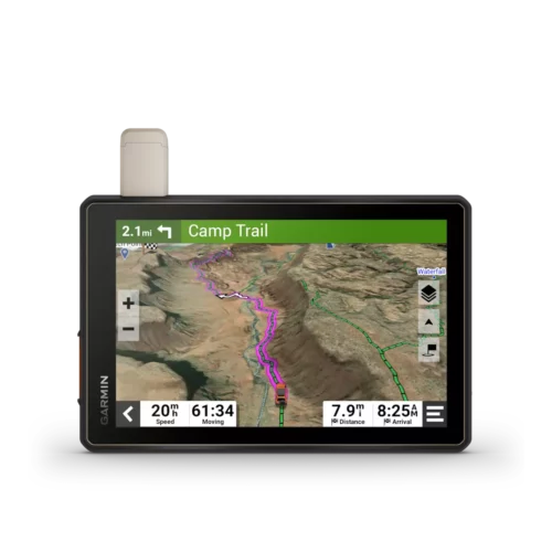
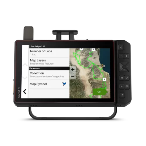
Not sure which GPS unit is the most durable and reliable for your next off-road adventure?
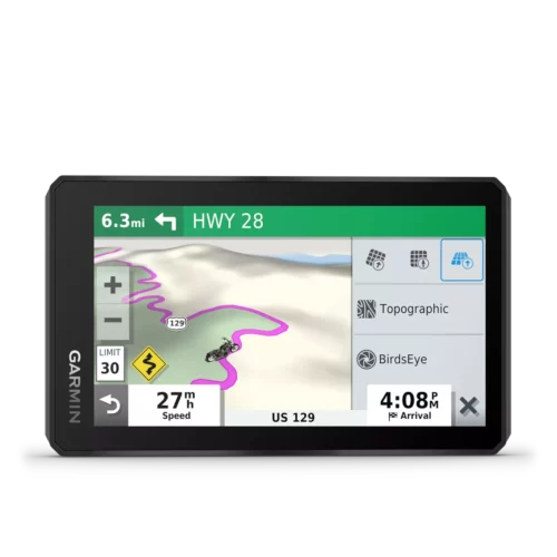
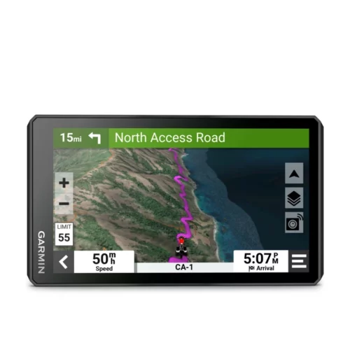
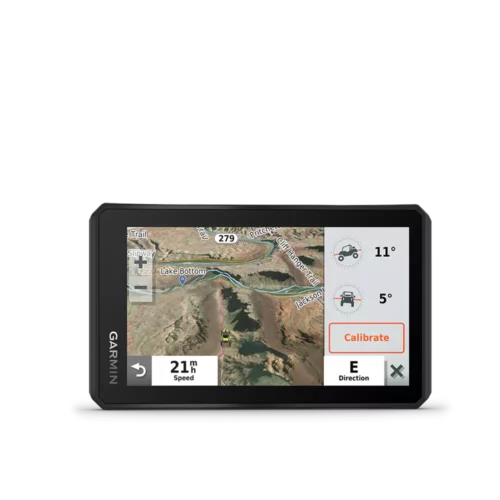
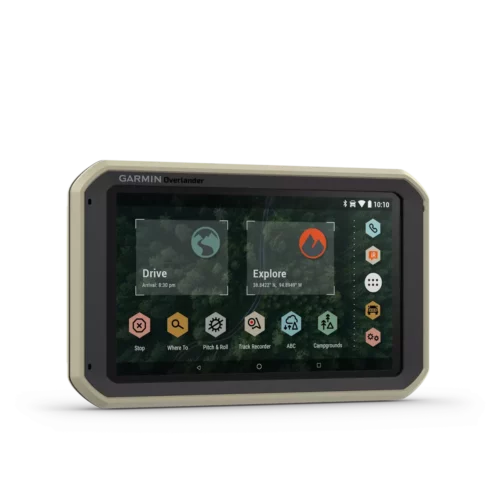
Compare our most popular off-road navigators: Garmin zumo 396 LMT-S vs. zumo XT vs. zumo XT2 vs. GPSMAP 276Cx vs. Overlander vs. Tread (XL) Overland Edition vs. Tread XL – Baja Series vs. Montana 700i
 | zumo 396 LTM-S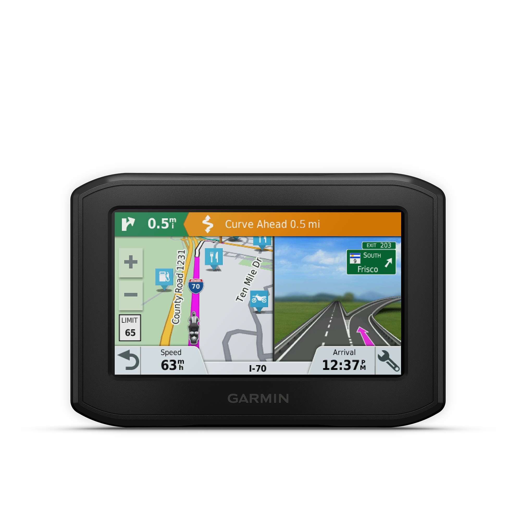 | zumo XT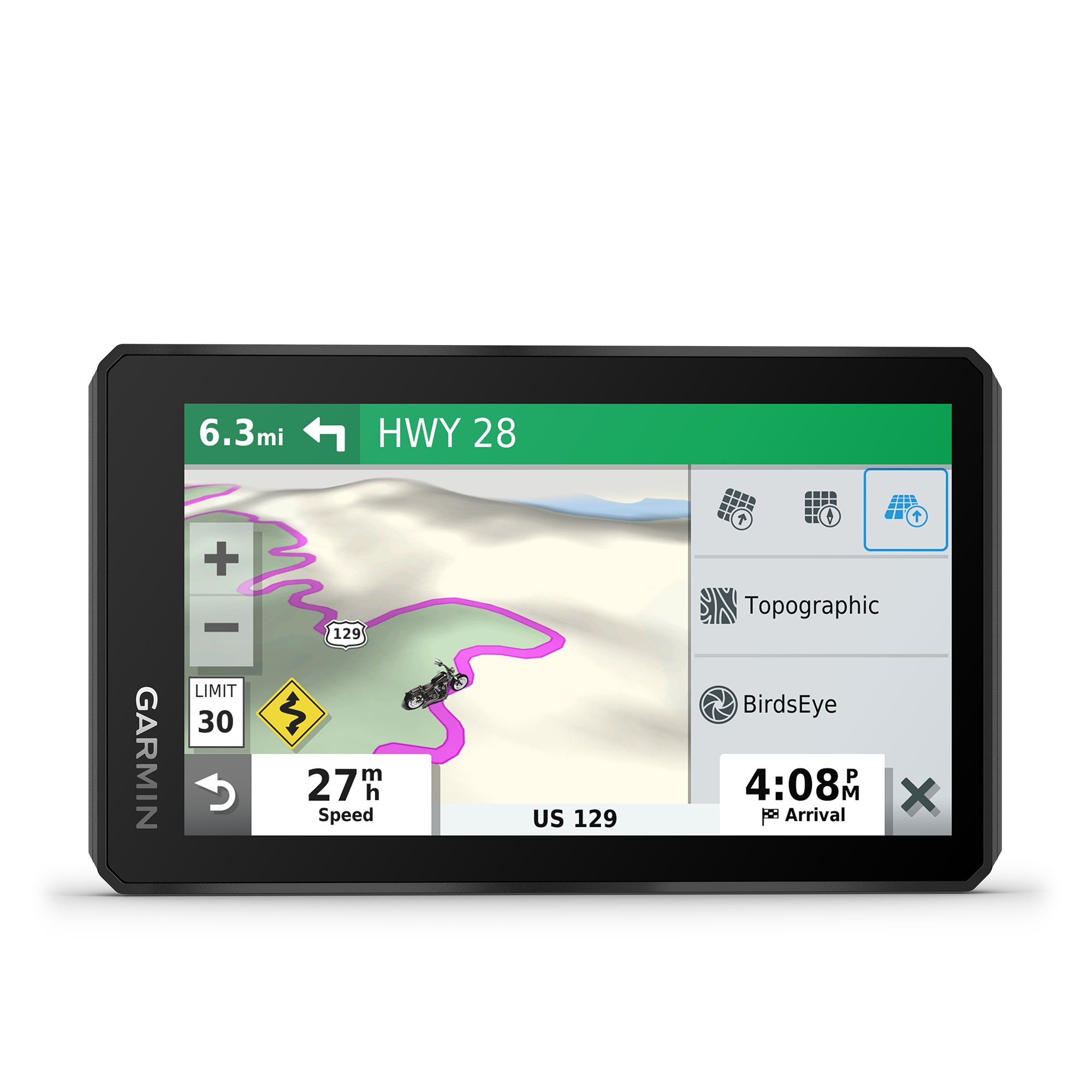 | zumo XT2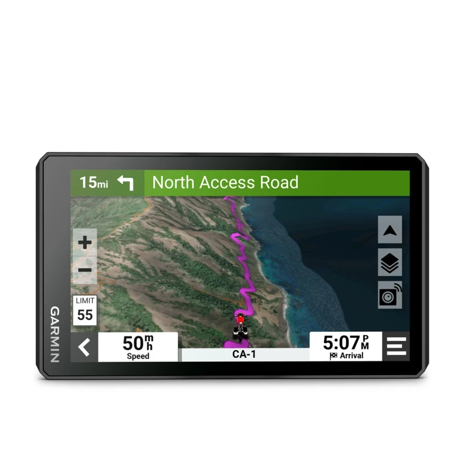 | GPSMAP 276Cx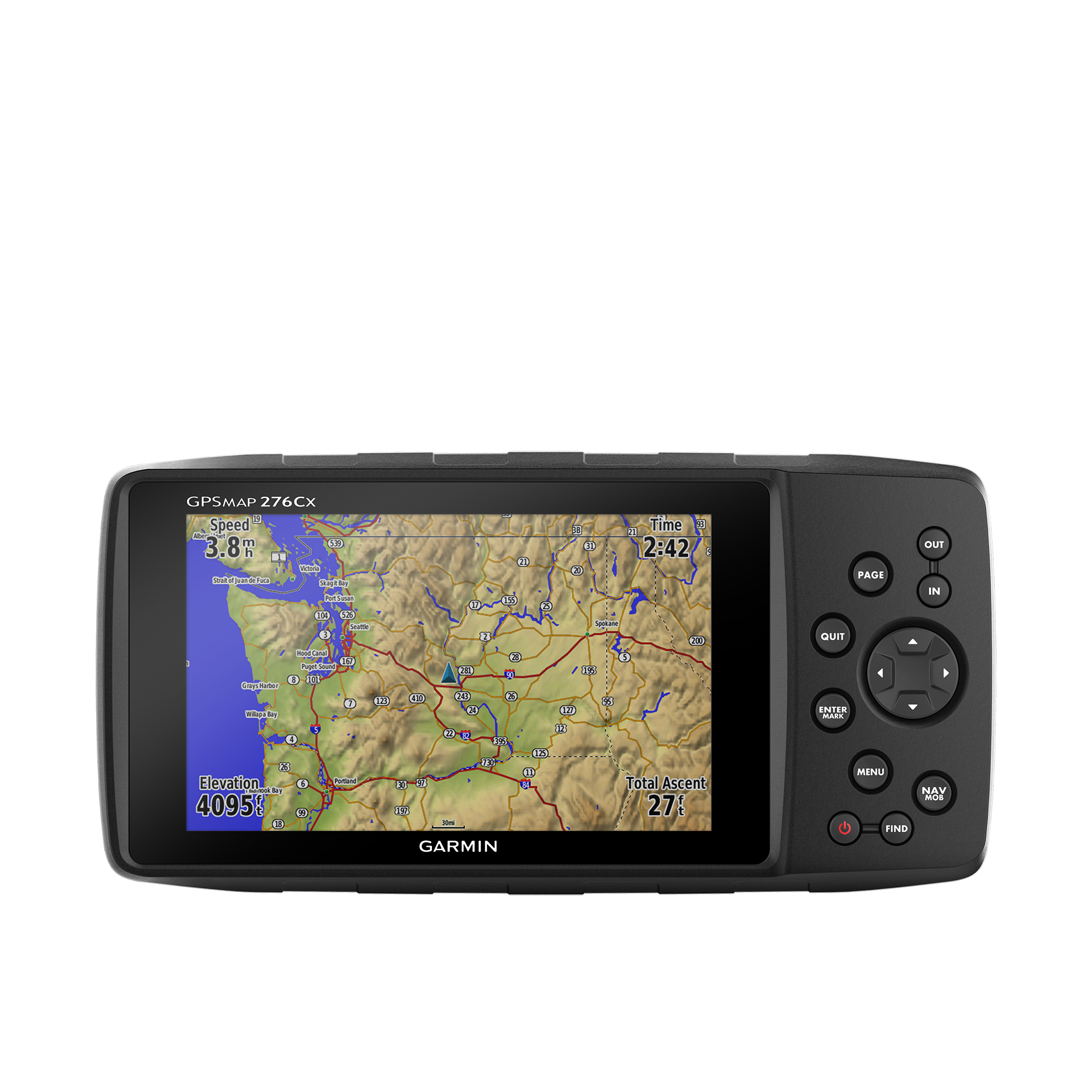 | Overlander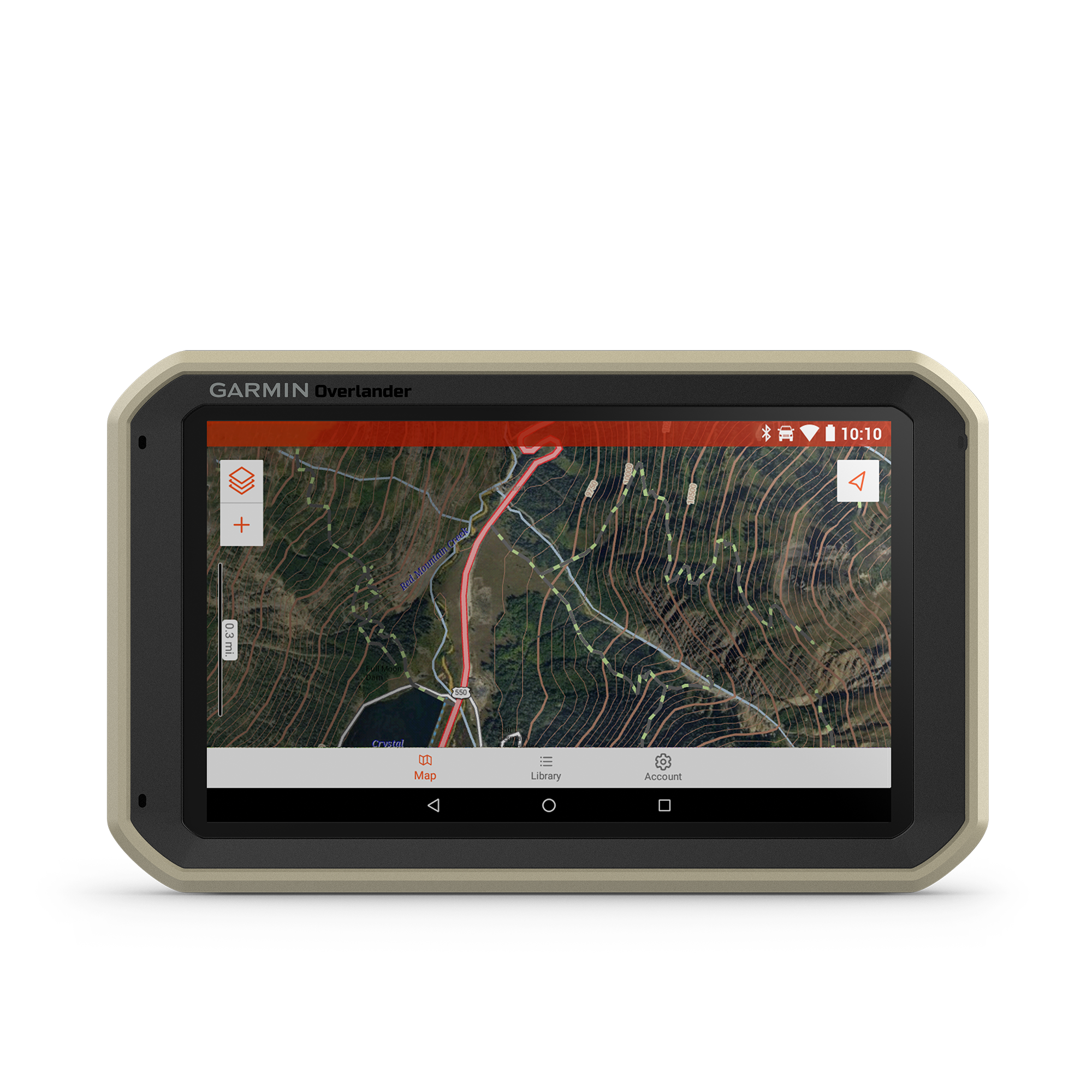 | Tread – Base Edition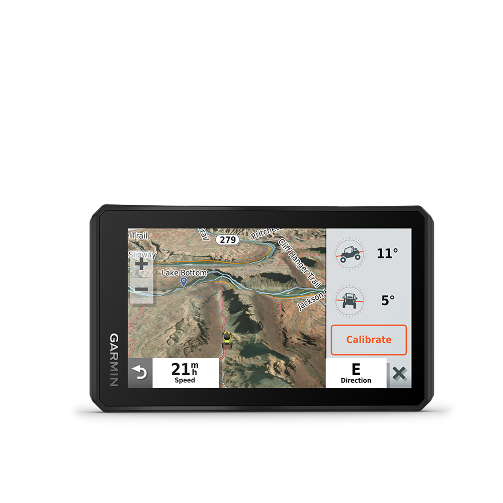 | Tread (XL) – Overland Edition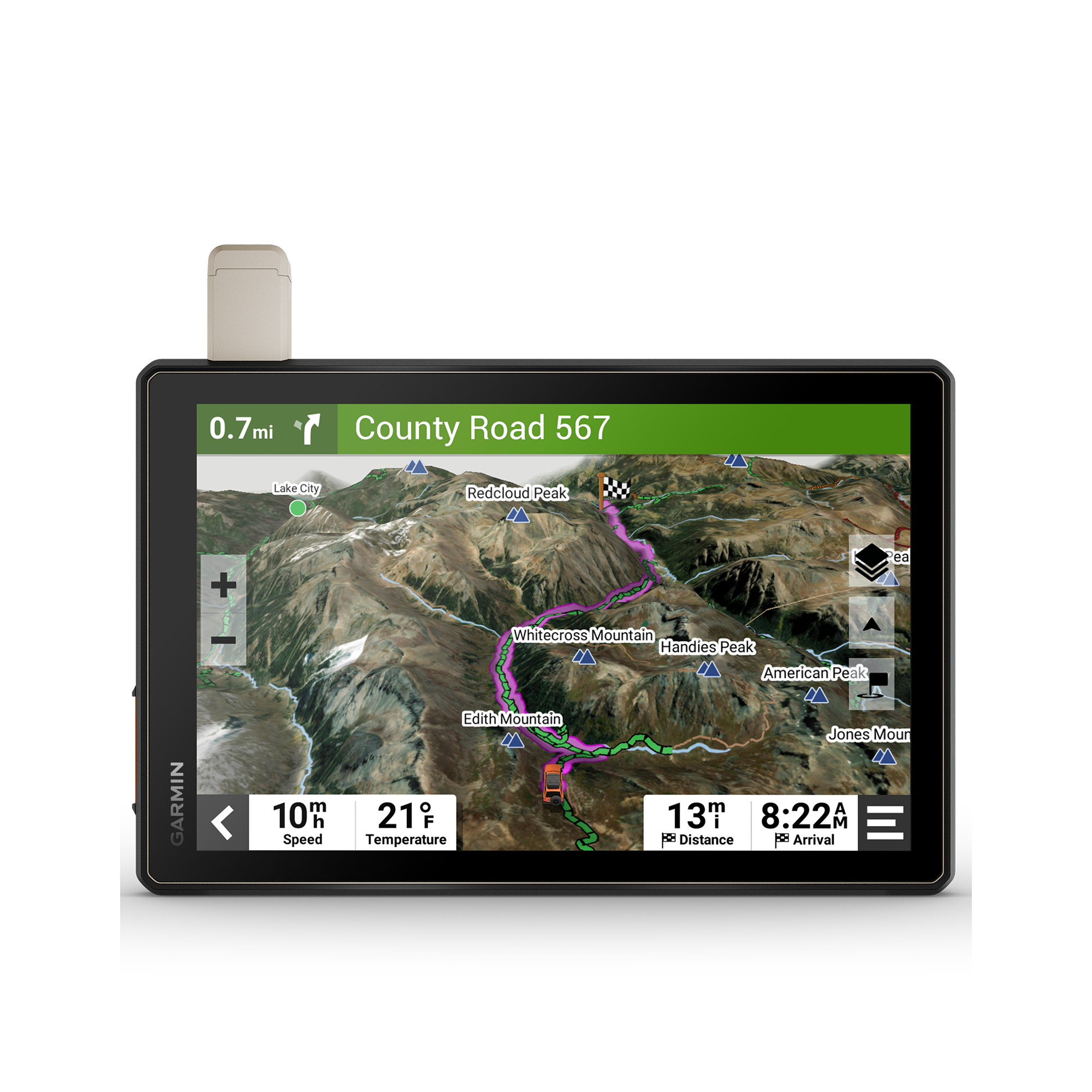 | Tread XL – Baja Race Edition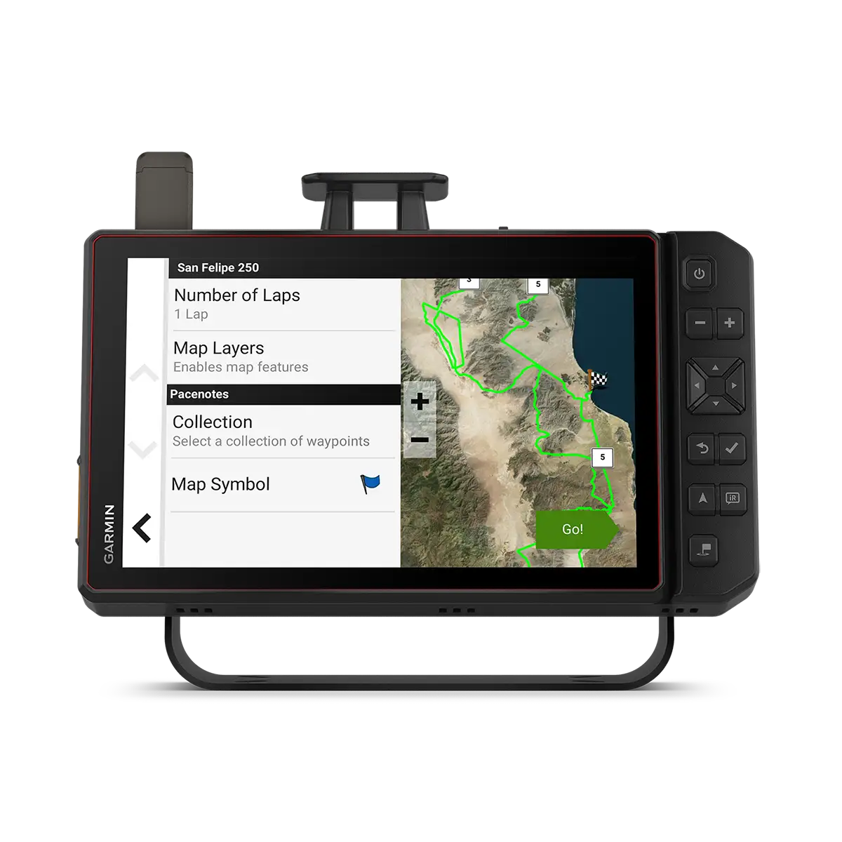  | Tread XL – Baja Chase Edition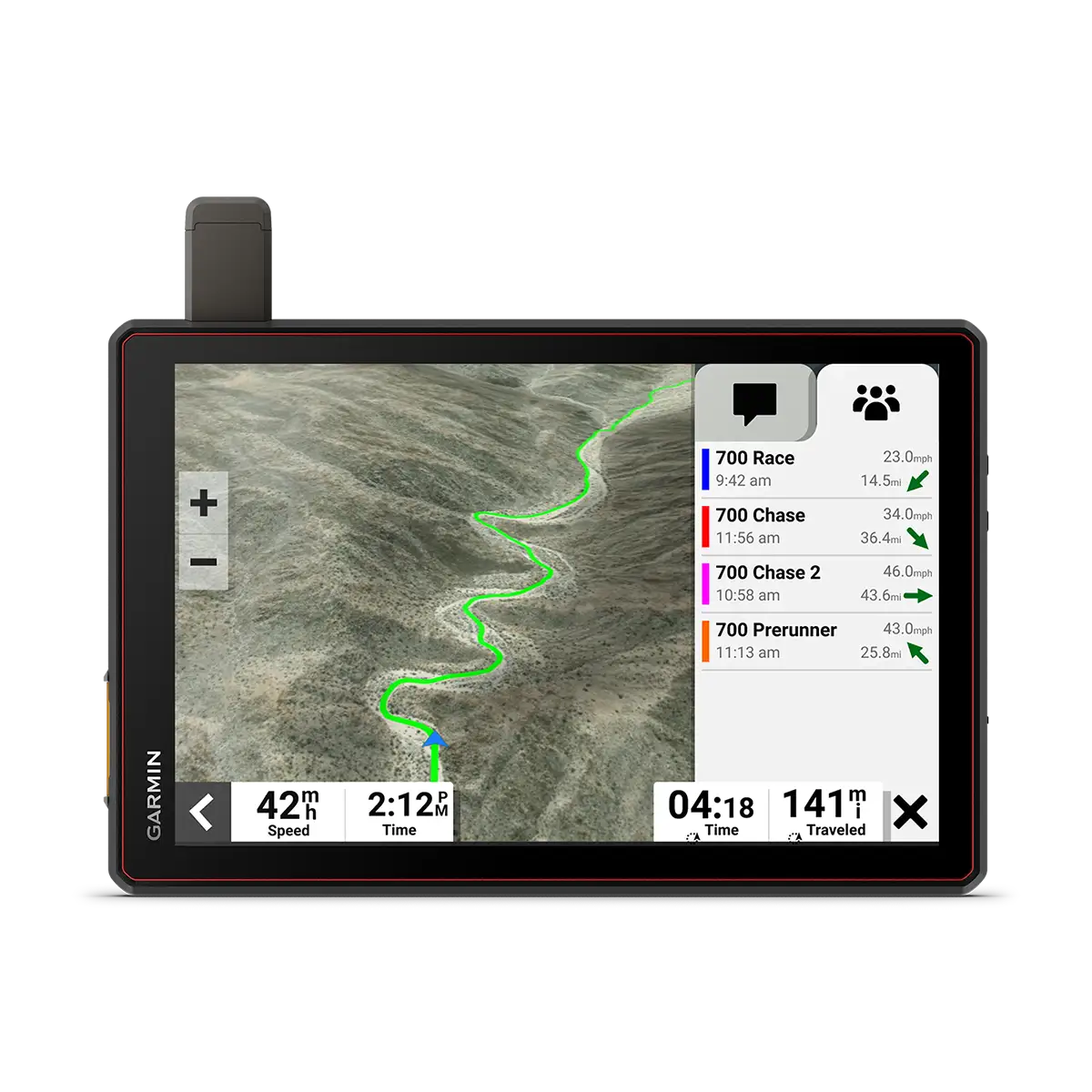  | Montana 700i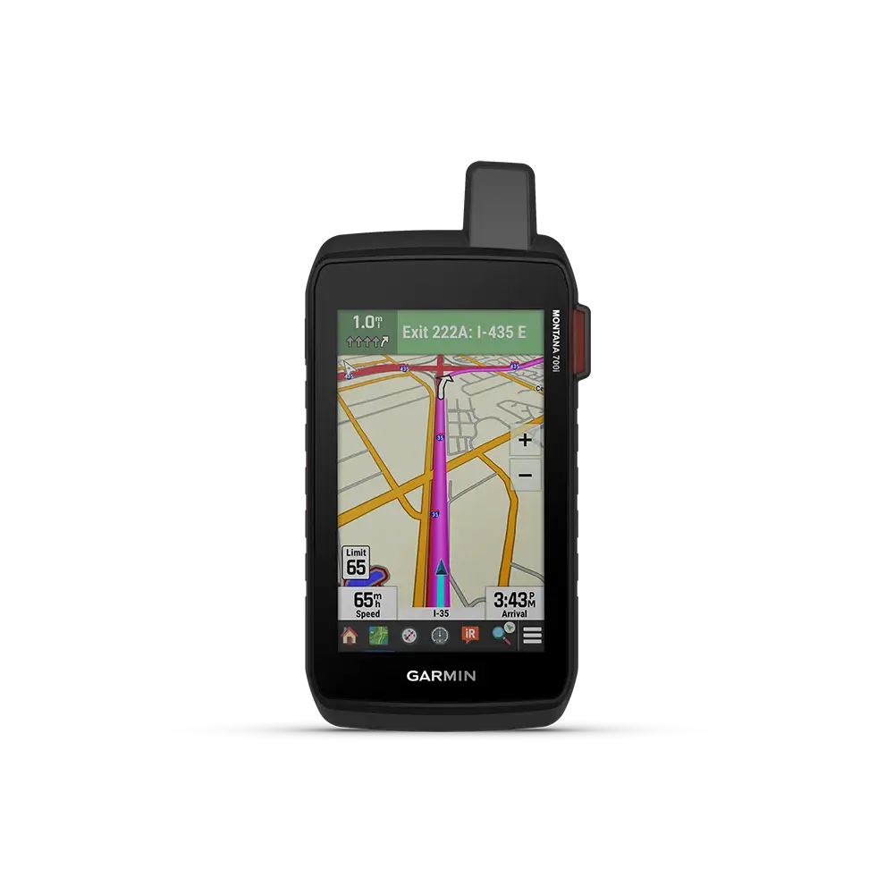  |
|---|---|---|---|---|---|---|---|---|---|---|
| Unit Dimensions | 4.94″W x 3.38″H x 0.98″D (12.5 x 8.6 x 2.5 cm) | 5.8”W x 3.5”H x 1”D (8.8 x 14.8 x 2.4 cm) | 6.15″W x 3.5″H x 1″D (15.6 x 8.9 x 2.5 cm) | 7.5″ x 3.7″ x 1.7″ (19.05 x 9.40 x 4.32 cm) | 7.84″ W x 4.79″ H x 0.93″ D (19.9 x 12.2 x 2.4 cm) | 5.8”W x 3.5”H x 1”D (8.8 x 14.8 x 2.4 cm) | Tread: 8.1″W x 6.7″H x 1.2″D (20.7 x 16.9 x 3.1 cm) Tread XL: 9.9″W x 7.8″H x 1.2″D (25.2 x 19.9 x 3.1 cm) | 9.9″W x 7.8″H x 1.2″D (25.2 x 19.9 x 3.1 cm), device only 11.4″W x 7.6″H x 2.5″D (29 x 19.3 x 6.4 cm), device and dock | 9.9″W x 7.8″W x 1.2″D (25.2 x 19.9 x 3.1 cm) | 3.6″ x 7.2″ x 1.3″ (9.19 x 18.30 x 3.27 cm) |
| Display Size | 3.7″W x 2.2″H (9.4 x 5.6 cm); 4.3″ diag (10.9 cm) | 4.8”W x 2.7”H (12.1 x 6.8 cm); 5.5” diag (13.9 cm) | 5.3″W x 3.0″ H (13.3 x 7.5 cm); 6″ diag (15.3cm) | 5.0″ (127.0 mm) diagonal | 6.0″ W x 3.5″ H (15.2 x 8.9 cm); 6.95″ (17.7 cm) | 4.8”W x 2.7”H (12.1 x 6.8 cm); 5.5” diagonal (13.9 cm) | Tread: 6.8″W x 4.2″H (10.8 cm x 17.2 mm); 8″ diagonal (20.3 cm) Tread XL: 8.5″W x 5.3″H (21.7 cm x 13.6 cm); 10.1″ diagonal (25.7 cm) | 8.5″W x 5.3″H (21.7 cm x 13.6 cm); 10.1″ diagonal (25.7 cm) | 8.5″W x 5.3″H (21.7 cm x 13.6 cm); 10.1″ diagonal (25.7 cm) | 2.55″W x 4.25″H (6.48 x 10.80 cm); 5″ diag (12.70 cm) |
| Display Resolution | 480 x 272 pixels | 1280 x 720 pixels | 1280 x 720 pixels | 800 x 480 pixels | 1024 x 600 pixels | 1280 x 720 pixels | 1280 x 800 pixels | 1280 x 800 pixels | 1280 x 800 pixels | 480 x 800 pixels |
| Display Type | WQVGA color TFT with white backlight | multi-touch, glass, high brightness HD color TFT with white backlight | multi-touch, glass, high brightness HD color TFT with white backlight | bright, sunlight readable WVGA display | multi-touch, glass, WSVGA color TFT with white backlight | multi-touch, glass, high brightness HD color TFT with white backlight | multi-touch, glass, high brightness HD color TFT with white backlight | multi-touch, glass, high brightness HD color TFT with white backlight | multi-touch, glass, high brightness HD color TFT with white backlight | WVGA transflective, dual orientation, touchscreen |
| Glove-friendly touchscreen | ✅ | ✅ | ✅ | ❌ | ❌ | ✅ | ✅ | ✅ | ✅ | ❌ |
| Dual-orientation Display | ❌ | ✅ | ✅ | ❌ | ❌ | ✅ | ✅ | ✅ | ✅ | ✅ |
| Weight | 8.5 ounces (241.1 g) | 9.2 ounces (262 g) | 12 ounces (340 g) | 15.9 oz (450 g) with included rechargeable pack; 14.6 oz (415 g) with AA batteries (not included) | 15.4 oz (437 g) | 9.2 oz (262 g) | Tread: 22.8 oz (646 g) Tread XL: 32.8 oz (930 g) | 32.8 oz (930 g), device only 58.8 ounces (1666.5g), device and dock | 32.8 oz (930 g) | 14.5 oz (410 g) with included lithium-ion battery pack |
| Battery | rechargeable lithium-ion | rechargeable lithium-ion | rechargeable lithium-ion | rechargeable lithium-ion (included) or 3 AA batteries (not included); NiMH or Lithium recommended | rechargeable lithium-ion | rechargeable lithium-ion | rechargeable lithium-ion | rechargeable lithium-ion | rechargeable lithium-ion | rechargeable lithium-ion |
| Battery Life | up to 4 hours | up to 6 hours (up to 3.5 hours at 100% backlight) | up to 6 hours (up to 3.5 hours at 100% backlight) | up to 16 hours (lithium-ion); up to 8 hours (AA batteries) | up to 3 hours | up to 6 hours (up to 3.5 hours at 100% backlight) | Up to 6 hours at 50% backlight Up to 1 hour at 100% backlight | Up to 6 hours at 50% backlight Up to 1 hour at 100% backlight | Up to 6 hours at 50% backlight Up to 1 hour at 100% backlight | GPS Mode: up to 18 hours GPS Mode, 10 min Tracking: up to 18 hours Expedition Mode: up to 330 hours Expedition Mode, 30 min Tracking: up to 300 hours |
| Headphone Jack/Audio Line-out | ❌ | ❌ | ❌ | ❌ | ✅ | ❌ | ❌ | ❌ | ❌ | ❌ |
| Drop Rating | ❌ | MIL-STD-810 | MIL-STD-810 | ❌ | MIL-STD-810 | MIL-STD-810 | MIL-STD-810 | MIL-STD-810 | MIL-STD-810 | MIL-STD-810 (thermal, shock, water, vibe) |
| Dust Rating | ❌ | ❌ | ❌ | ❌ | IP5X | ❌ | IP6X | IP6X | IP6X | ❌ |
| Waterproof | ✅ (IPX7) | ✅ (IPX7) | ✅ (IPX7) | ✅ (IPX7) | ❌ | ✅ (IPX7) | ✅ (IPX7) | ✅ (IPX7) | ✅ (IPX7) | ✅ (IPX7) |
| GPS/GLONASS/Galileo | GPS | GPS/GLONASS/Galileo | GPS/Galileo | GPS/GLONASS | GPS/GLONASS/Galileo | GPS/Galileo | GPS/Galileo | GPS/Galileo | GPS/Galileo | GPS/Galileo |
| 10 Hz multi-GNSS positioning | ❌ | ✅ | ✅ | ❌ | ❌ | ❌ | ✅ | ✅ | ✅ | ❌ |
| Internal storage | ❌ | 32 GB | N/A | 8 GB (6 GB available to use) | 64 GB | 32 GB | 64 GB | 128 GB | 128 GB | 16 GB (user space varies based on included mapping) |
| WiFi | ✅ | ✅ | ✅ | ✅ | ✅ | ✅ | ✅ | ✅ | ✅ | ✅ |
| Bluetooth | ✅ (works with BLUETOOTH®-compatible helmet, headset or smartphone (sold separately)) | ✅ (works with Bluetooth®-compatible helmet, headset or smartphone; BLE capable) | ✅ (works with Bluetooth®-compatible helmet, headset or smartphone; BLE capable) | ✅ | ✅ | ✅ (works with BLUETOOTH-compatible helmet, headset or smartphone; BLE capable) | ✅ (works with BLUETOOTH-compatible helmet, headset or smartphone; BLE capable) | N/A | N/A | ✅ |
| ANT+ | ❌ | ✅ | ✅ | ✅ | ❌ | ❌ | ❌ | ❌ | ❌ | ✅ |
| Active Weather | ❌ | ❌ | ❌ | ✅ | ❌ | ❌ | ❌ | ❌ | ❌ | ✅ |
| Magnetic Mount | ❌ | ❌ | ❌ | ❌ | ✅ | ❌ | locking magnet-assisted mount | locking magnet-assisted mount | locking magnet-assisted mount | ❌ |
| Tube mount (1.5″ – 2.375″) | ❌ | ❌ | ❌ | ❌ | ❌ | ✅ | ❌ | ❌ | ❌ | ❌ |
| 1″Ball Adapter with AMPS Plate | ❌ | ✅ | ✅ | ❌ | ✅ | ✅ | ❌ | ❌ | ❌ | ❌ |
| 1.5″ ball adapter with AMPS plate | ❌ | ❌ | ❌ | ❌ | ❌ | ❌ | ✅ | ✅ | ✅ | ❌ |
| Preloaded Maps | ✅ (City Navigator North America) | ✅ (City Navigator North America, Topographic Maps of North and Central America) | ✅ (City Navigator North America, Topographic Maps of North and Central America) | ❌ | ✅ (TOPO maps for North and South America) | ✅ (City Navigator North America, Topographic Maps of North and Central America, US public land boundaries, private land parcel maps, USFS Roads and Trails, including motor-vehicle-use-maps for motorcycle, ATV, SXS and full-size 4×4) | ✅ (City Navigator North America, Topographic Maps of North and Central America, US public land boundaries, private land parcel maps, USFS Roads and Trails, including motor-vehicle-use-maps for motorcycle, ATV, SXS and full-size 4×4) | ✅ (City Navigator North America, Topographic Maps of North and Central America, Satellite imagery of North Baja Peninsula, Public and private landowner maps (U.S. only), Adventure roads and trails (OSM, MVUM and USFS)) | ✅ (City Navigator North America, Topographic Maps of North and Central America, Satellite imagery of North Baja Peninsula, Public and private landowner maps (U.S. only), Adventure roads and trails (OSM, MVUM and USFS)) | ✅ TopoActive for U.S., Canada; City Navigator Maps, North America; Federal Public Lands Map, US only |
| Includes Map Updates | ✅ | ✅ | ✅ | ❌ | ✅ | ✅ (with Garmin Tread app) | ✅ (with Garmin Tread app) | ✅ | ✅ | ❌ |
| Downloadable Satellite Imagery | ❌ | ✅ (Birdseye Direct) | ✅ (Birdseye Direct) | ❌ | ✅ (U.S. only) | ✅ (Birdseye Direct) | ✅ (Birdseye Direct) | ✅ (Birdseye Direct & North Baja Peninsula comes preloaded ) | ✅ (Birdseye Direct & North Baja Peninsula comes preloaded ) | ✅ (Birdseye Direct) |
| Downloadable USGS Quad Sheets | ❌ | ❌ | ❌ | ✅ | ✅ | ❌ | ❌ | ❌ | ❌ | ❌ |
| 3-D Terrain View | ❌ | ✅ | ✅ | ✅ | ✅ | ✅ | ✅ | ✅ (high res) | ✅ (high res) | ✅ |
| 3-D Building View | ❌ | ✅ | ❌ | ❌ | ❌ | ❌ | ❌ | ❌ | ❌ | ❌ |
| Curvy Roads Routing | ✅ | ✅ | ✅ | ❌ | ❌ | ❌ | ❌ | ❌ | ❌ | ❌ |
| Ability to Add Maps | ✅ | ✅ | ✅ | ✅ | ✅ | ✅ | ✅ | ✅ | ✅ | ✅ |
| Round Trip | ✅ | ✅ | ✅ | ✅ | ❌ | ❌ | ✅ | ❌ | ❌ | ❌ |
| Track Support | ✅ | ✅ | ✅ | ✅ | ✅ | ✅ | ✅ | ✅ | ✅ | ✅ |
| Custom Map Support | ✅ | ✅ | ✅ | ✅ | ❌ | ❌ | ✅ | ✅ | ✅ | ✅ (500 custom map tiles) |
| TOPO Map Support | ✅ | ✅ | ✅ | ✅ | ✅ | ❌ | ✅ | ✅ | ✅ | ✅ |
| Accepts Data Cards | microSD™ card (not included) | ✅ (256 GB max microSD™ card) | ✅ (256 GB max microSD™ card) | microSD™ card (not included) | ❌ | ✅ (256 GB max microSD™ card) | ✅ (256 GB max microSD™ card) | ✅ (256 GB max microSD™ card) | ✅ (256 GB max microSD™ card) | ✅ (32 GB max microSD™ card) |
| Waypoints | ❌ | ❌ | ❌ | 10,000 | ❌ | ❌ | ❌ | ❌ | ❌ | 10,000 |
| Routes | ❌ | ❌ | ❌ | 250 | ❌ | ❌ | ❌ | ❌ | ❌ | 250, 250 points per route; 50 points auto routing |
| Track Log | ❌ | ❌ | ❌ | 20,000 points, 250 saved tracks | ❌ | ❌ | ❌ | ❌ | ❌ | 20000 points, 250 saved gpx tracks, 300 saved fit activities |
| Track recorder | ✅ | ✅ | ✅ | ✅ | ✅ | ✅ | ✅ | ✅ | ✅ | ✅ |
| Map Segments | ❌ | ❌ | ❌ | 15,000 | ❌ | ❌ | ❌ | ❌ | ❌ | 15,000 |
| Voice Prompts | ✅ | ✅ | ✅ | ✅ (with optional automotive speaker mount) | ✅ | ✅ | ✅ | ✅ | ✅ | ✅ (with optional automotive speaker mount) |
| Speaks Street Names | ✅ | ✅ | ✅ | ✅ (with optional City Navigator map) | ✅ | ✅ | ✅ | ✅ | ✅ | ✅ (with optional automotive speaker mount) |
| Voice-Activated Navigation (Operate Device with Spoken Commands) | ❌ | ❌ | ❌ | ❌ | ✅ | ❌ | ❌ | ❌ | ❌ | ❌ |
| Visual route planner | ❌ | ❌ | ✅ | ❌ | ❌ | ❌ | ❌ | ❌ | ❌ | ❌ |
| Garmin Real Directions Landmark Guidance | ✅ | ✅ | ✅ | ❌ | ✅ | ✅ | ✅ | ❌ | ❌ | ❌ |
| Point-to-Point Navigation | ❌ | ❌ | ✅ | ✅ | ❌ | ✅ | ✅ | ✅ | ✅ | ✅ |
| Navigate-a-Track Navigation | ❌ | ✅ | ✅ | ❌ | ❌ | ✅ | ✅ | ✅ | ✅ | ❌ |
| Turn-by-turn trail navigation | ❌ | ❌ | ❌ | ❌ | ✅ | ✅ | ✅ | ✅ | ❌ | |
| Tire Pressure Monitor System | ❌ | ✅ | ❌ | ❌ | ❌ | ❌ | ❌ | ❌ | ❌ | ❌ |
| TracBack | ✅ | ✅ | ✅ | ✅ | ✅ | ❌ | ❌ | ❌ | ❌ | ❌ |
| Skip Waypoints | ✅ | ❌ | ❌ | ❌ | ❌ | ❌ | ❌ | ❌ | ❌ | ❌ |
| Route Shaping through preferred cities/streets | ✅ | ✅ | ✅ | ❌ | ✅ | ✅ | ✅ | ❌ | ❌ | ❌ |
| Custom street routing for the size and weight of your vehicle | ❌ | ❌ | ❌ | ❌ | ❌ | ✅ | ✅ | ✅ | ✅ | ❌ |
| Service history log | ✅ | ✅ | ✅ | ❌ | ❌ | ❌ | ❌ | ❌ | ❌ | ❌ |
| Traffic compatible | ✅ (with Smartphone Link app) | ✅ (with Garmin Drive app) | ✅ (with Garmin Tread app) | ❌ | ✅ (with optional traffic cable) | ✅ (with Garmin Tread app) | ✅ (with Garmin Tread app) | ❌ | ❌ | ❌ |
| Incldues Traffic | ✅ (with Smartphone Link app) | ✅(with Garmin Drive™ app) | ✅(with Garmin Tread app) | ❌ | ❌ | ❌ | ❌ | ❌ | ❌ | ❌ |
| Lane Assist | ✅ | ✅ | ✅ | ❌ | ✅ | ✅ | ✅ | ❌ | ❌ | ❌ |
| Junction View (Displays Junction Signs) | ✅ | ✅ | ✅ | ❌ | ✅ | ✅ | ✅ | ❌ | ❌ | ❌ |
| Millions of Foursquare Points of Interest | ✅ | ✅ | ❌ | ✅ (with optional City Navigator map) | ✅ | ❌ | ❌ | ❌ | ❌ | ❌ |
| TripAdvisor ratings for Travel POIs | ✅ | ✅ | ✅ | ❌ | ✅ | ✅ | ✅ | ❌ | ❌ | ❌ |
| Garmin Adventurous Routing | ✅ | ✅ | ✅ | ❌ | ❌ | ✅ | ✅ | ❌ | ❌ | ❌ |
| Automatic Incident Detection | ✅ | ❌ | ❌ | ❌ | ❌ | ❌ | ❌ | ❌ | ❌ | ❌ |
| Group Route Sharing (GPX Files) | ✅ | ✅ | ✅ | ❌ | ❌ | ✅ | ✅ | ✅ | ✅ | ❌ |
| Auto Sort Multiple Destinations | ✅ | ✅ | ✅ | ✅ | ✅ | ✅ | ✅ | ❌ | ❌ | ❌ |
| Route Avoidance | ✅ | ✅ | ✅ | ❌ | ❌ | ✅ | ✅ | ❌ | ❌ | ❌ |
| Helmet Law Notifications (US/CAN) | ✅ | ✅ | ✅ | ❌ | ❌ | ❌ | ❌ | ❌ | ❌ | ❌ |
| Popular paths (Moto) | ❌ | ❌ | ✅ | ❌ | ❌ | ❌ | ❌ | ❌ | ❌ | ❌ |
| Ride summary | ❌ | ❌ | ✅ | ❌ | ❌ | ❌ | ❌ | ❌ | ❌ | ❌ |
| Planned & Dynamic Fuel Stops | ✅ | ✅ | ✅ | ❌ | ❌ | ❌ | ❌ | ❌ | ❌ | ❌ |
| Speed Limit Indicator (displays speed limit for most major roads in the U.S. and Europe) | ✅ | ✅ | ✅ | ✅ (with optional City Navigator map) | ✅ | ✅ | ✅ | ❌ | ❌ | ✅ |
| Rider Alert Warnings for Sharp curves, state helmet laws, speed cameras and more | ✅ | ✅ | ✅ | ❌ | ❌ | ❌ | ❌ | ❌ | ❌ | ❌ |
| Driver alerts for sharp curves, school zones, red light and speed camera warnings and more | ✅ | ✅ | ✅ | ✅ (with optional City Navigator map) | ✅ | ❌ | ❌ | ❌ | ❌ | ❌ |
| Smart Notifications Via App | ✅ | ✅ | ✅ | ✅ | ❌ | ✅ | ✅ | ❌ | ❌ | ✅ |
| Live Services Available Via App | ✅ | ✅ | ✅ | ✅ | ❌ | ✅ | ✅ | Tread app (Smart notifications only) | Tread app (Smart notifications only) | ❌ |
| LiveTrack via Smartphone Link App | ✅ | ✅ | ❌ | ✅ | ❌ | ❌ | ❌ | ❌ | ❌ | ✅ |
| Backup Camera Compatible | ❌ | ❌ | ✅ (BC™ 40 or BC™ 50) | ❌ | ✅ (BC 35) | ✅ (BC™ 40 or BC™ 50) | ✅ (BC™ 50) | ✅ (BC™ 50) | ✅ (BC™ 50) | ❌ |
| Pair with Compatible inReach Devices | ❌ | ✅ | ✅ | ❌ | ✅ | ✅ | ❌ | ❌ | ❌ | ❌ |
| Built-in inReach® Technology (requires active subscription; subject to regulations or prohibitions in some jurisdictions) | ❌ | ❌ | ❌ | ❌ | ❌ | ❌ | ✅ | ✅ | ✅ | ✅ |
| Compatible with external inReach® satellite antenna | ❌ | ❌ | ❌ | ❌ | ❌ | ❌ | ✅ | ✅ | ✅ | ❌ |
| Team Tracking — message and track live positions (Requires inReach Flex Team subscription) | ❌ | ❌ | ❌ | ❌ | ❌ | ❌ | ❌ | ✅ | ✅ | ❌ |
| Where Am I? | ✅ | ✅ | ✅ | ✅ | ❌ | ✅ | ✅ | ✅ | ✅ | ✅ |
| Exit Services | ✅ | ✅ | ✅ | ❌ | ✅ | ❌ | ❌ | ❌ | ❌ | ❌ |
| Custom POI’s | ✅ | ✅ | ✅ | ✅ | ✅ | ❌ | ❌ | ❌ | ❌ | ✅ |
| Control Music and Media from Smartphone or MP3 Player | ✅ | ✅ | ✅ | ❌ | ❌ | ❌ | ✅ | ❌ | ❌ | ❌ |
| Hunt/Fish Calendar | ❌ | ❌ | ❌ | ✅ | ❌ | ❌ | ❌ | ❌ | ❌ | ✅ |
| Sun and moon Information | ❌ | ❌ | ❌ | ✅ | ❌ | ❌ | ❌ | ❌ | ❌ | ✅ |
| Tide Tables | ❌ | ❌ | ❌ | ✅ | ❌ | ❌ | ❌ | ❌ | ❌ | ❌ |
| Barometric Altimeter | ❌ | ❌ | ❌ | ✅ | ✅ | ✅ | ✅ | ✅ | ✅ | ✅ |
| Compass | ❌ | ❌ | ❌ | ✅ | ✅ | ✅ | ✅ | ✅ | ✅ | ✅ (tilt-compensated 3-axis) |
| XERO™ Locations | ❌ | ❌ | ❌ | ❌ | ❌ | ❌ | ❌ | ❌ | ❌ | ✅ |
| Specialized RV Routing | ❌ | ❌ | ❌ | ❌ | ✅ | ❌ | ✅ | ❌ | ❌ | ❌ |
| RV Parks & Services Directory | ❌ | ❌ | ❌ | ❌ | ✅ | ❌ | ✅ | ❌ | ❌ | ❌ |
| Road Elevations | ❌ | ✅ | ✅ | ❌ | ✅ | ❌ | ✅ | ❌ | ❌ | ❌ |
| State Border Notices- RV | ❌ | ❌ | ❌ | ❌ | ✅ | ❌ | ✅ | ❌ | ❌ | ❌ |
| Sunrise/Sunset Times – RV | ❌ | ❌ | ❌ | ❌ | ✅ | ❌ | ✅ | ❌ | ❌ | ❌ |
| Mile Marker Info- RV | ❌ | ❌ | ❌ | ❌ | ✅ | ❌ | ❌ | ❌ | ❌ | ❌ |
| iOverlander Points of Interest | ❌ | ✅ | ❌ | ❌ | ✅ | ✅ | ✅ | ✅ | ✅ | ❌ |
| Ultimate Public Campgrounds | ❌ | ✅ | ❌ | ❌ | ✅ | ✅ | ✅ | ❌ | ❌ | ❌ |
| Pitch and Roll Gauges | ❌ | ❌ | ❌ | ❌ | ✅ | ✅ | ✅ | ❌ | ❌ | ❌ |
| Pair with Garmin PowerSwitch | ❌ | ✅ | ✅ | ❌ | ❌ | ✅ | ✅ | ✅ | ✅ | ❌ |
| Compatible with Group Ride Radio | ❌ | ✅ | ✅ | ❌ | ❌ | ✅ | ✅ | ✅ | ✅ | ❌ |
| Compatible with external GPS antenna with mount | ❌ | ❌ | ❌ | ✅ (no mount needed) | ❌ | ❌ | ✅ | ✅ (included) | ✅ | ❌ |
| Compatible with external inReach® satellite antenna | ❌ | ❌ | ❌ | ❌ | ❌ | ❌ | ✅ | ✅ (included) | ✅ | ❌ |
| Group Ride Mobile | ❌ | ❌ | ✅ | ❌ | ❌ | ❌ | ✅ (with Garmin Tread app) | ✅ (with Garmin Tread app) | ✅ (with Garmin Tread app) | ❌ |
| Prerunning tools — import a course to view and add custom pacenotes | ❌ | ❌ | ❌ | ❌ | ❌ | ❌ | ❌ | ✅ | ✅ | ❌ |
| Compatible with Garmin Explore for Waypoints, Tracks Route and Activities | ❌ | ✅ | ❌ | ❌ | ✅ | ✅ | ✅ | ❌ | ❌ | ✅ |
| Garmin Connect Compatibile (online community where you analyze, catagorize and share data) | ❌ | ❌ | ❌ | ✅ | ❌ | ❌ | ❌ | ❌ | ❌ | ✅ |

